This post may contain affiliate links. By purchasing through my links you can help support me at no additional cost to you, thank you!
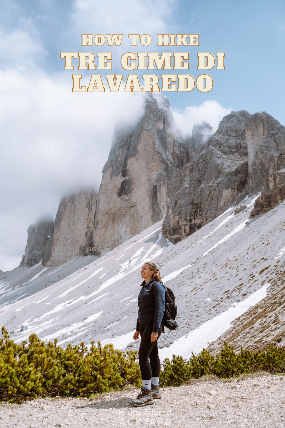
Are you planning on doing the Tre Cime Di Lavaredo hike? Below is everything you need to know about this hike including detailed route instructions!
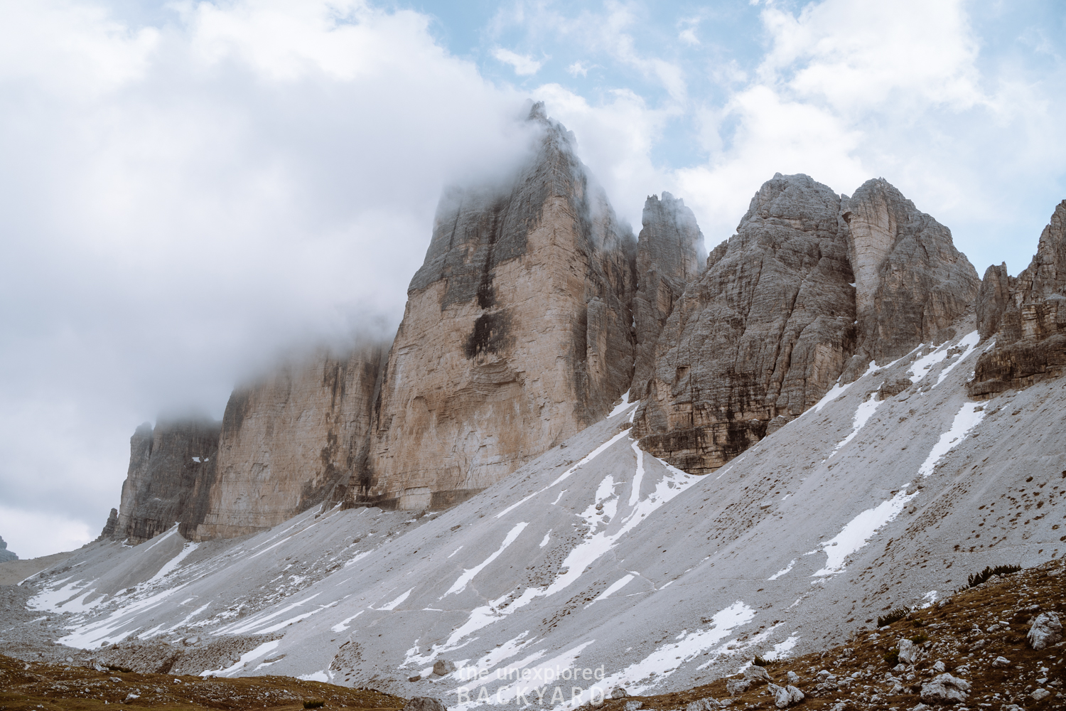
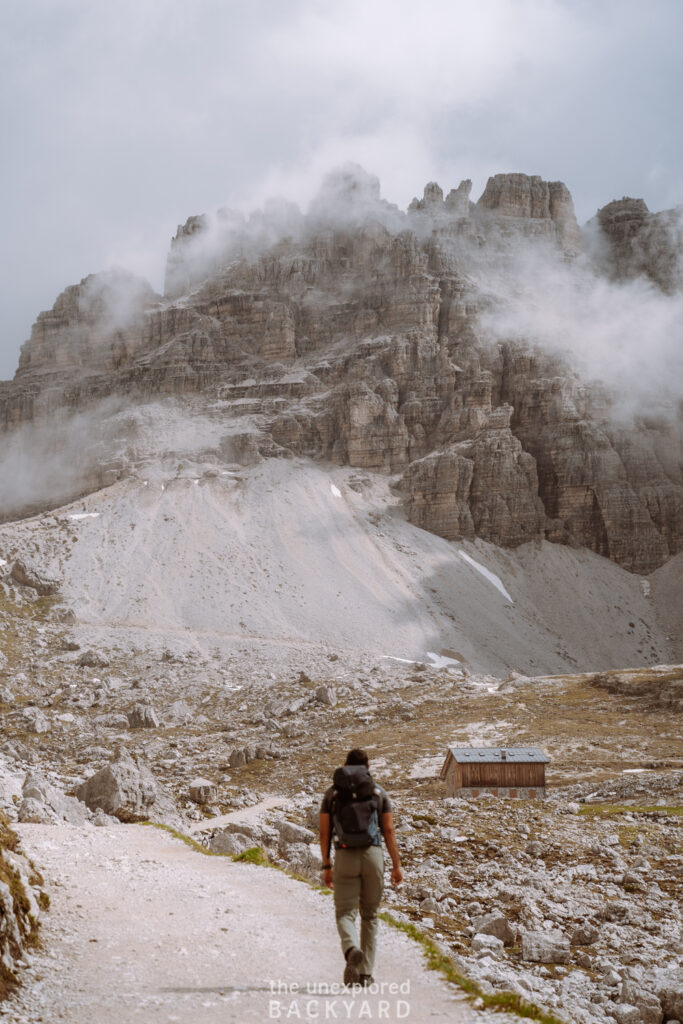
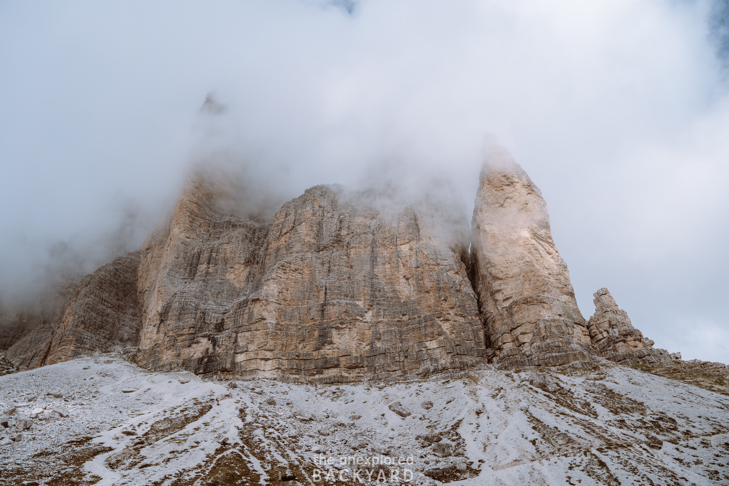
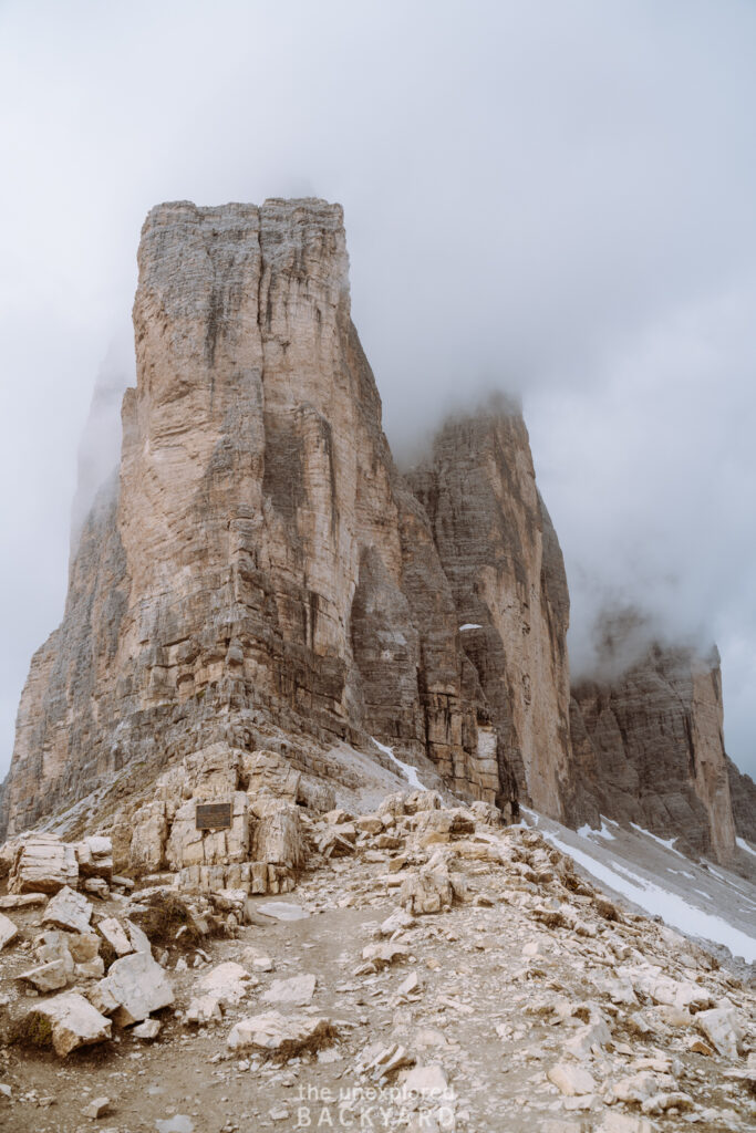
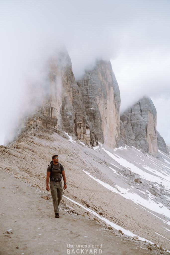
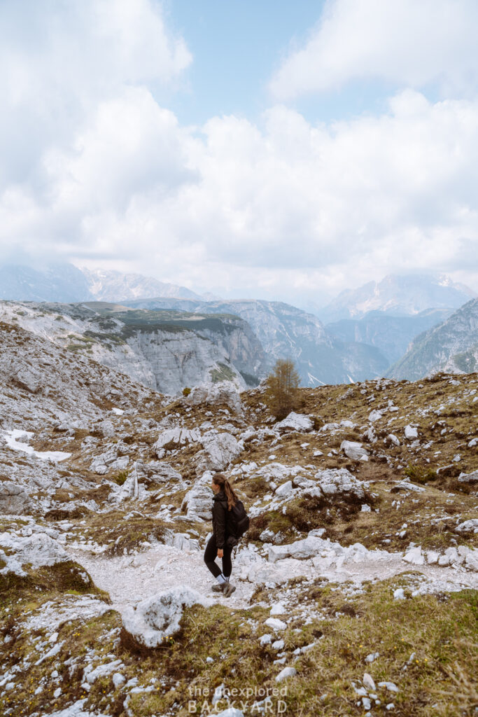
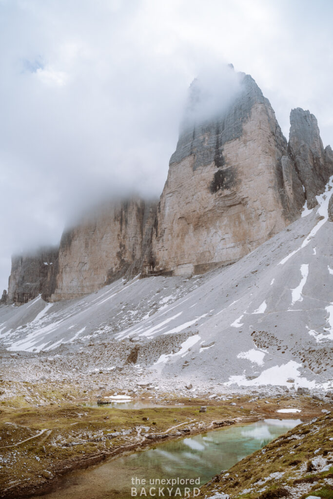
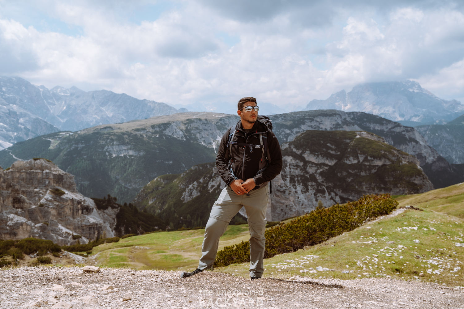
The Dolomites mountain range is a hiker’s dream, as there are so many incredible hiking routes that vary in length and challenge. The Tre Cime di Lavaredo hike is a must-do hike for anyone looking to experience the magic of the Dolomites. This is one of the most popular hiking routes in the region and for good reason! The hike is most famous for the views over the dramatic three peaks coming out of the mountain that look almost unreal due to their formation. However, this hike also offers so many other incredible sights such as alpine lakes, a vast amount of nearby peaks, and several mountain huts.
The Tre Cime di Lavaredo hike is one of my absolute favorite hikes in the Dolomites! In this guide, I will share with you absolutely everything you need to know about hiking here. This includes some frequently asked questions and general information regarding the hike itself, such as difficulty level and length. Then I will go into how to get to the start of the trail. I will guide you through the entire Tre Cime di Lavaredo Circuit Trail including some special spots you shouldn’t miss and the best viewpoints! I will also include a map of the trail with pins to help guide you along, that you can download and use while hiking this trail. Lastly, I will also tell you how to reach the famous Cadini di Misurina viewpoint as an added bonus at the end of your hike!
FAQs about the Tre Cime di Lavaredo Hike
How long is the Tre Cime di Lavaredo Hike?
The Tre Cime Di Lavaredo hike is around 11 km in total. It is not too difficult to complete, and it makes the perfect day hike when visiting the Dolomites in Italy. While some parts of the hike are definitely harder than others, this is surprisingly one of the easier hikes in the region if you start out from the parking lot. A lot of the hike is actually flat and there are lots of places to stop and rest. This makes it an ideal hike for both beginners and advanced hikers.
Is the Tre Cime di Lavaredo hike worth it?
The short answer is yes, the Tre Cime di Lavaredo hike is absolutely worth it! The three peaks are absolutely breathtaking. However, you also get to enjoy so many more incredible views along the way. This even includes some alpine lakes! In my opinion, if you can only do one hike in the Dolomites, then this is definitely the one to do.
This post is all about how to hike the Tre Cime di Lavaredo circuit trail.
How to get to the Tre Cime di Lavaredo Hike
There are a few ways to get to the starting point of the trail. I will first tell you the most common option, and then provide you with a cheaper alternative.
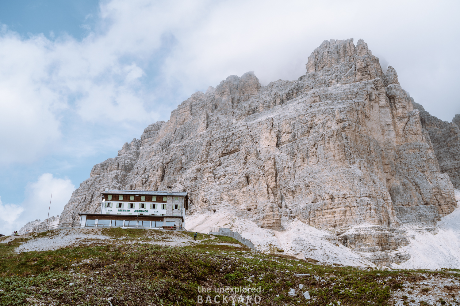
The Tre Cime di Lavaredo Hike starts out at the Rifugio Auronzo parking lot. This parking lot is very large, so as long as you come in the morning, you should have no difficulty finding a parking spot. However, during the peak season in July and August, I recommend arriving by 8 AM.
Option 1: Toll Road
In order to get to the parking lot, you have to drive through a toll road. This toll road starts close to Lago Atorno, just 5 km before reaching the starting point. Each car driving up to the parking lot has to pay a fee of 30 euros per car. This fee is used to maintain the road since it solely operates for the purpose of getting to this hike. The fee may differ depending on the type of vehicle (ie. motorcycle, campervan, etc.) however, hikers on foot can pass for free. There is no fee at the parking lot at the top, so you can view the toll road as a general admission fee for the hike.
Opening times of the toll road:
The toll road is open seasonally and the opening dates depend on the road conditions and the amount of snow/ice. Typically the toll road is open from the end of May/ beginning of June up until the end of October. We came on the day the toll road opened in 2022 which was June 1st. You can email this address to check on which date the toll road is set to open: [email protected]
Pro Tip: Do not come on the first day that it opens. This is what we did and so we arrived on the 1st of June, 2022 at 6 AM only to find out that it hadn’t opened yet. When we arrived they were still checking the snow conditions on the road and the Tre Cime di Lavaredo trail. We had to wait 2 full hours before they decided they could open and let us all in. If possible, wait until the second day to visit, so you don’t wait long, and risk them not opening the road at all.
During peak season (July and August) the toll roads are typically open 24/7, however, in the early and late periods of the season, it may change. In general, if there is a chance of bad weather (such as snow), the road may also close. While you can email the above address for specific information, you can typically also find up-to-date information on the toll road website or the Facebook page of Rifugio Auronzo.
Option 2: Hiking
If you want to save the toll road fee, you can actually also get to the starting point of the Tre Cime di Lavaredo hike for free. This is also how you reach the Tre Cime di Lavaredo hike outside of the toll road opening season. You will have to hike up the toll road instead. For this option, park by Lago Atorno, and hike up along the toll road to Rifugio Auronzo. It’s a hike of around 5-6 km each way, but the road is extremely steep so this part of the hike will actually be harder than the hike around the three peaks.
Personally, I wouldn’t recommend doing it. It’s a great option if the toll road is closed, or you are looking for an extra challenge, but not worth it to save 30 euros per car. I cannot stress enough how steep the road is, and since you don’t have a designated hiking trail, it doesn’t feel like an extra hike, but an inconvenience.
Hiking Statistics
Length: 11.7 km (will be anywhere between 10 – 13 depending on which points you stop at)
Total Elevation Gain: ~ 560 meters
Difficulty: Easy/ Moderate
Lowest Elevation: 2,185 meters
Highest Elevation: 2,455 meters
Time: 3-5 hours depending on the length of stops
When to go: Early June until late October is ideal. However, July and August are the best bet for clear weather.
Below you can get the interactive map of this hike including the hiking route, points of interest, huts, and photo spots!
How To Hike The Tre Cime di Lavaredo Circuit Trail
(step-by-step guide)
Rifugio Auronzo to Cappella degli Alpini
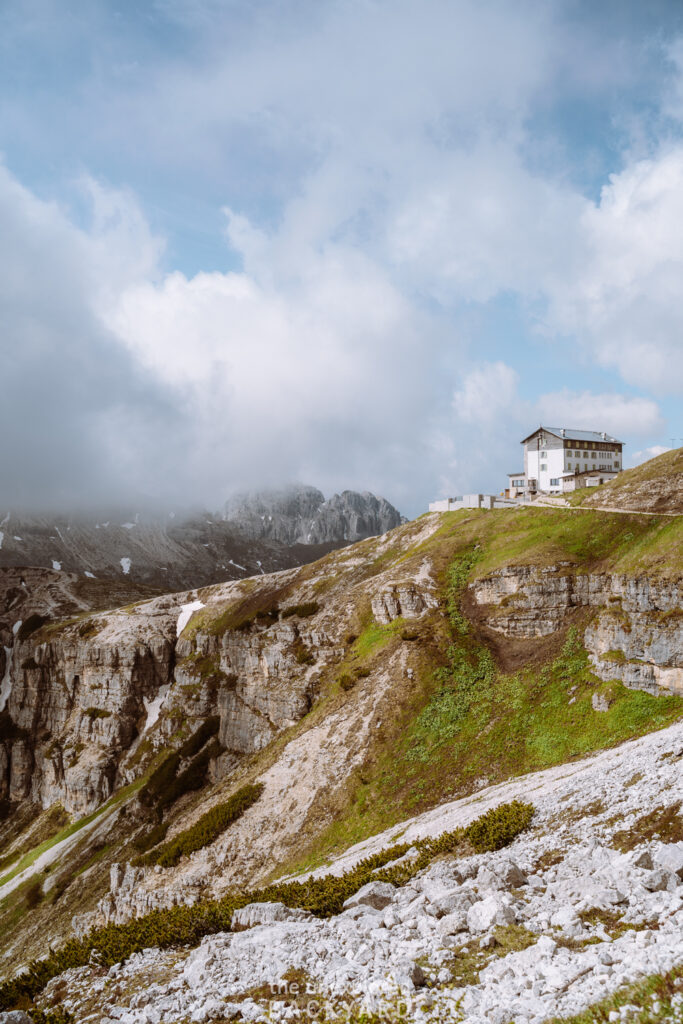
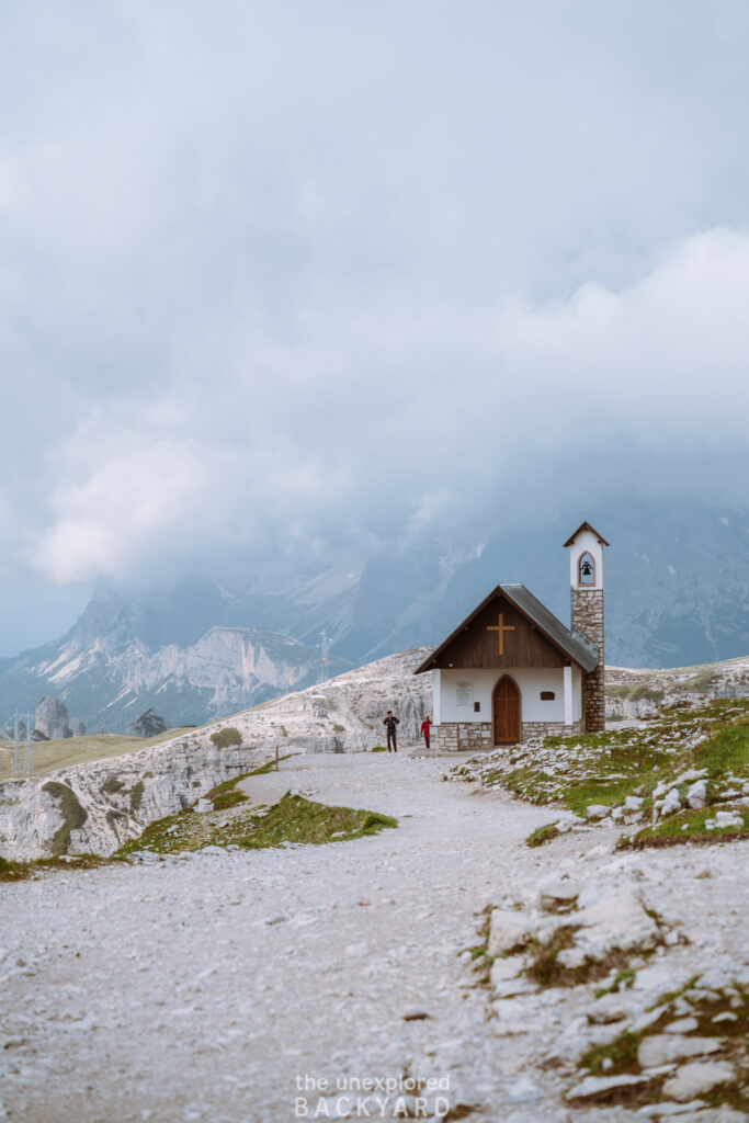
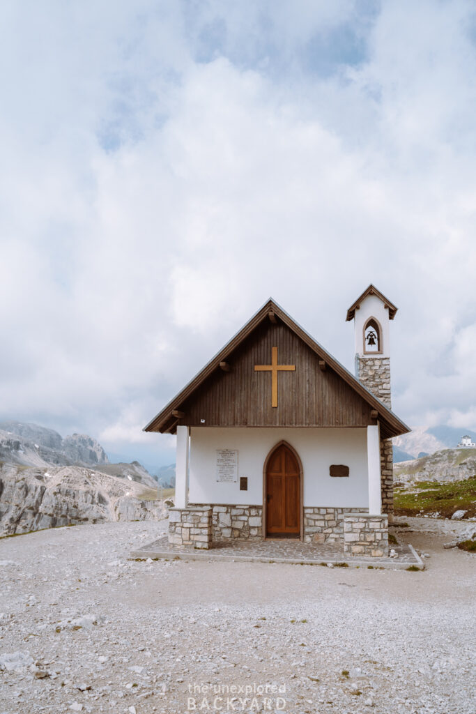
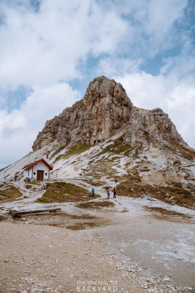
To start the hike, take trail #101 from Rifugio Auronzo towards Rifugio Lavaredo. On the way, you will come across Cappella degli Alpini, a cute alpine church. The church is located just around a kilometer away from the starting point so it shouldn’t take more than around 15 minutes to reach this spot.
Once here, you have the option to take a detour to the viewpoint called “Mirante do Vale dos Tres Picos de Lavaredo”. While this is a short 15 – 30-minute detour each way, I personally don’t think it’s worth it. The point of this spot is to look at the three peaks of Lavaredo. However, this part of the trail is actually behind them, so you simply see one big peak instead. I would suggest waiting and taking another special detour later in the hike.
Cappella degli Alpini to Rifugio Lavaredo
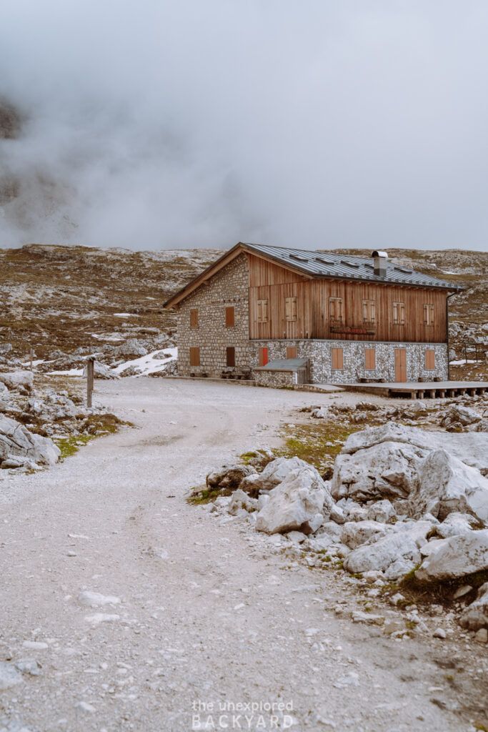
From the alpine church, it’s only a short 10-15-minute walk to Rifugio Lavaredo. This hut is only open seasonally from around late June until late September, but opening times will depend on the weather. You can find the updated opening times on their official website here. The Rifugio has a restaurant if you would like to stop and have something to eat or drink here, and you can also spend the night in one of their rooms. The dorms here tend to sell out early so make sure to book them in advance and bring cash, as they will not always accept card payment.
Since the Lavaredo hut is located at the start of the hike, I recommend skipping it and heading straight into the tougher part of the hike. Since the trail is a loop, you can always come back here at the end of your hike, as it is located quite close to the parking lot.
Rifugio Lavaredo to Forcella Lavaredo
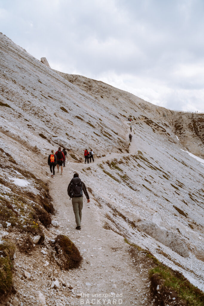
From the Rifugio, you have two options to continue up to Forcella Lavaredo. The higher trail is shorter, as it is only around 650 meters long, but more steep. The lower trail is slightly longer at around 1 km but is the easiest of the two. You can pick any trail depending on how quickly you want to reach the next stop. If you aren’t in a rush, I highly recommend sticking to the lower trail as you will get a better view of Tre Cime along the way. This part will only take you around 20 minutes, but here is where the incline begins.
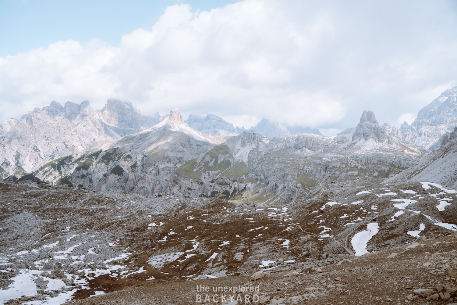
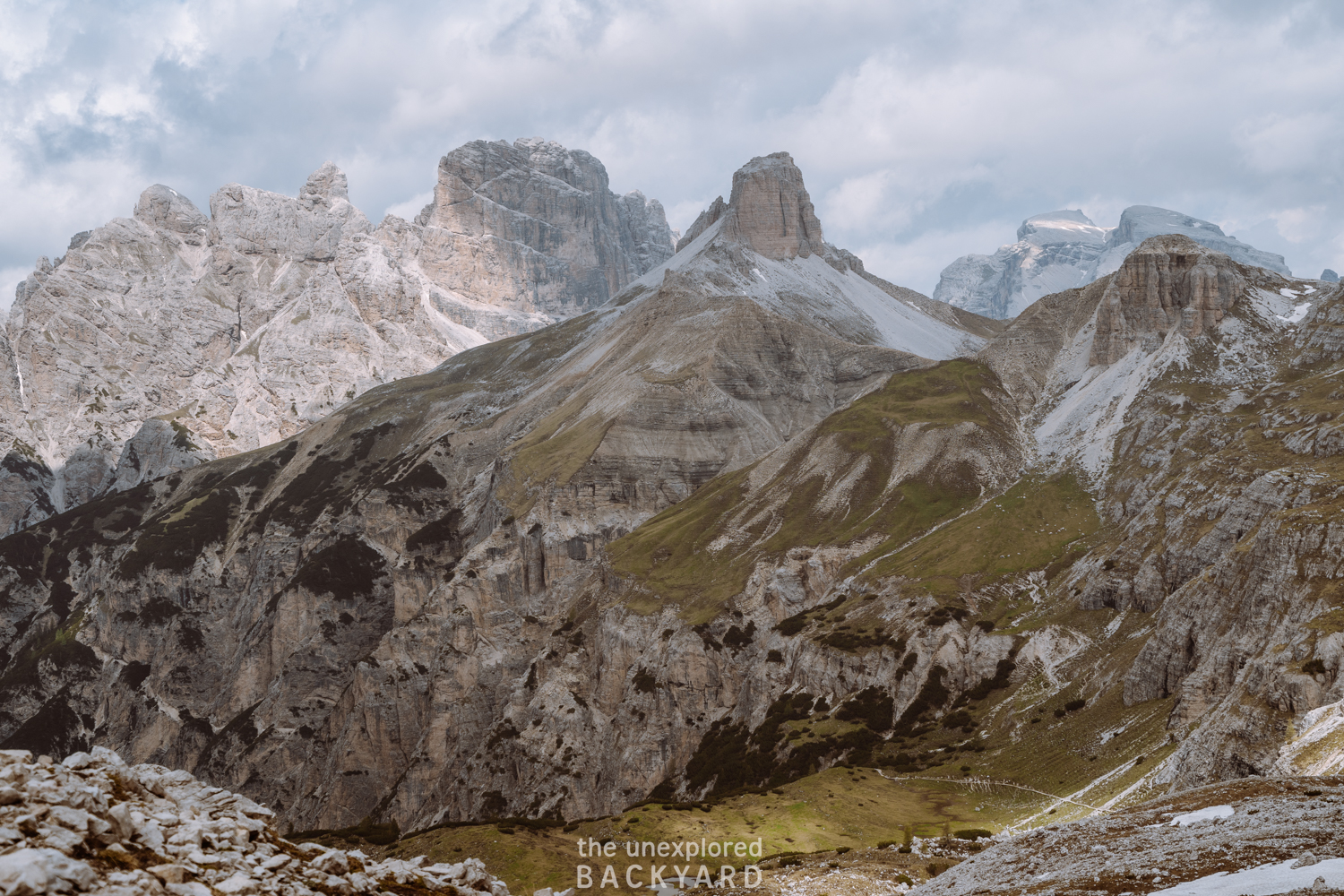
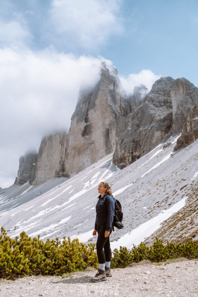
Once you reach Forcella Lavaredo you will actually be facing the three peaks from the front. This offers a stunning photo spot so make sure not to skip it and take a few minutes to admire the view. In addition, the valley below opens up and you get an amazing view over the other nearby mountain peaks.
Forcella Lavaredo to Rifugio Locatelli
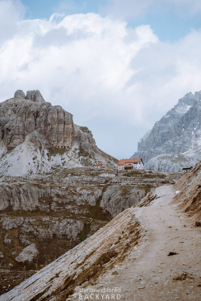
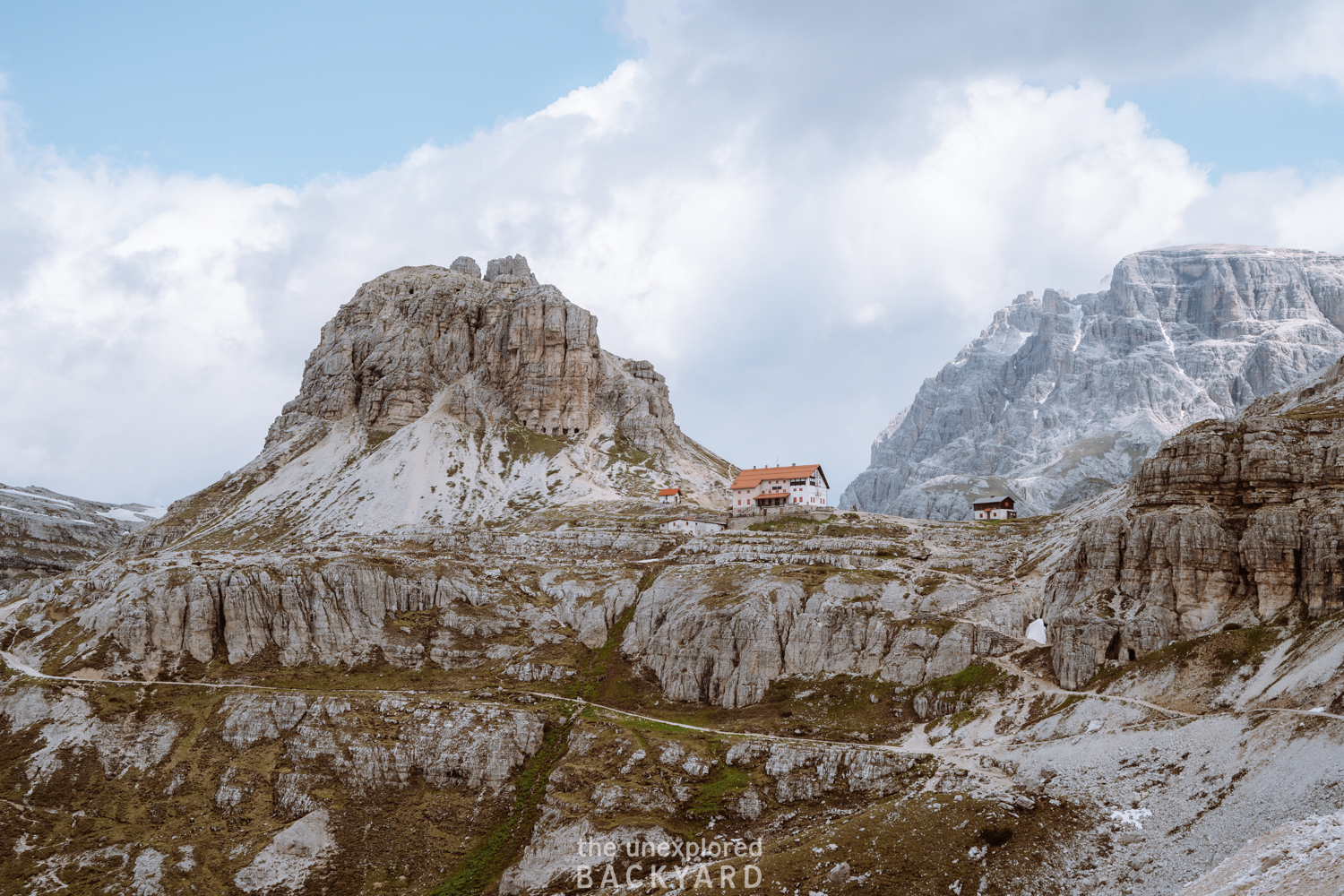
This next part of the trail to Rifugio Locatelli is also fairly easy and will only take you around 30-40 minutes as it lies just around 3 km from Forcella Lavaredo. The trail is very straightforward and you can even see the Rifugio in the distance from the top.
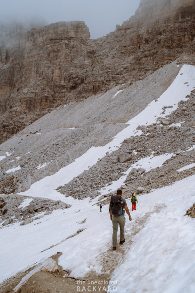
If you visit at either the beginning or end of the season, be prepared for some potential snow. This makes the trail harder and much more slippery so be sure to wear proper hiking boots and walk carefully. I would even recommend bringing hiking poles for stabilization if this is the case, but we didn’t have any.
Right before reaching Rifugio Locatelli, there will be an intersection in the trail for those who want to skip the hut. This stop offers you the best view over the Tre Cime so I highly recommend continuing up to the hut.
Things to do at Rifugio Locatelli:
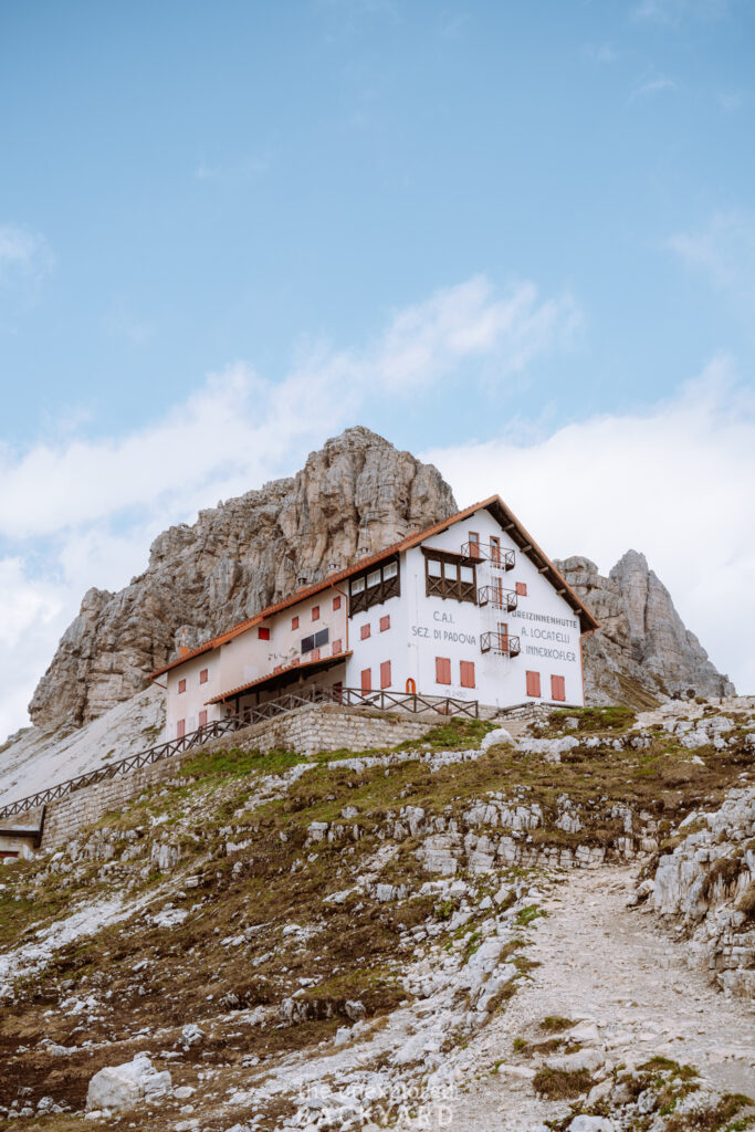
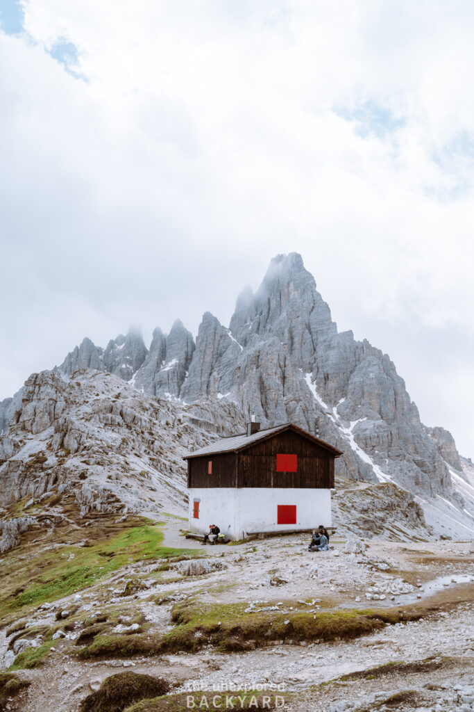
At the top, you can stop at Rifugio Locatelli for a bite to eat or something to drink if it is open. It is also possible to spend the night here but I recommend booking a bed well in advance. On the official website, they state that they accept reservation requests from mid-February but only by email with very specific instructions on what to include. For details on opening times, reservation requests, and prices, click here.
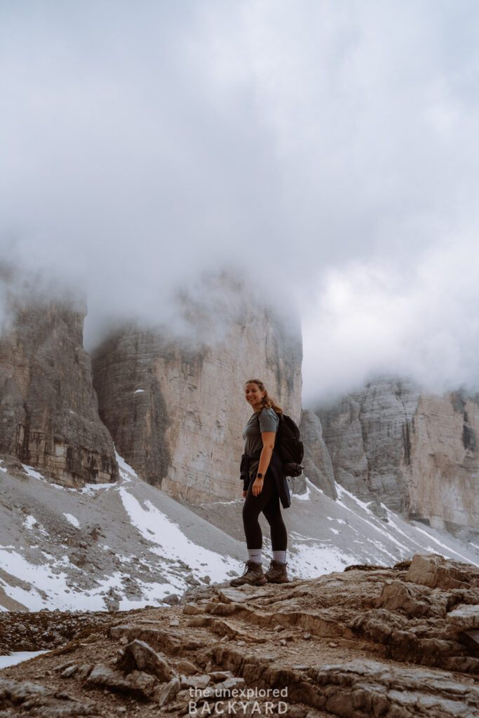
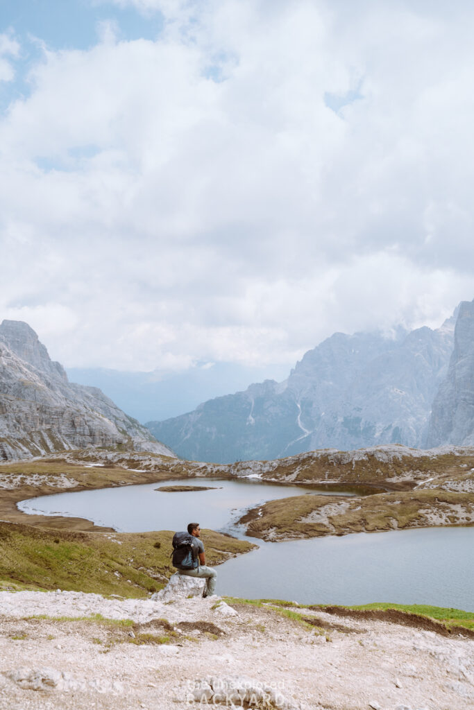
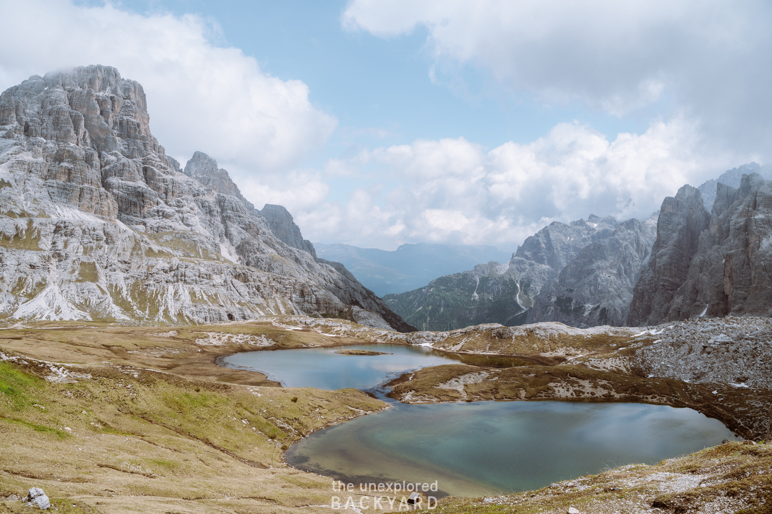
In addition to the hut, there are also two beautiful alpine lakes located here that are a must-see. The name of the lakes is “Laghi dei Piani” and you can also find their exact location on the map above. Furthermore, there is another alpine church here, as well as some caves providing a unique view over the peaks. To reach the caves, simply continue up the gravel trail behind the church. It takes about 20 minutes each way and is highly recommended on a clear day. We actually skipped the caves, since the peaks were completely covered when we were there.
Rifugio Locatelli to Malga Langalm
To reach Malga Langalm, you will need to head back down to the intersection. You can either hike back down the way you came or take the loop trail right behind the alpine church. At the intersection take route #105 towards Malga Langalm. This section of the trail is around 4 km long and will take anywhere between 45 – 60 minutes.
Start by hiking down into a valley, and then hike up a long steep trail. You will not always be able to see the three peaks in this section of the trail, but when you reach the top, the trail evens out and you get to enjoy views of Tre Cime again. Once you reach Malga Langalm, you will also see a few small lakes. This is another great photo spot. Malga Langalm is another hut that is open seasonally but does not offer sleeping options.
Malga Langalm to Rifugio Auronzo
From Malga Langalm, it is a short 2.5 km walk back to the parking lot at Rifugio Auronzo. It will take around 40 minutes to reach as you complete the final loop around the Tre Cime di Lavaredo. On the way, you will walk by a great photo spot called “Forcella del Col de Mezzo”. This place is marked on the map above so you don’t miss it. It offers a gorgeous photo spot with the three peaks as well as the valleys across.
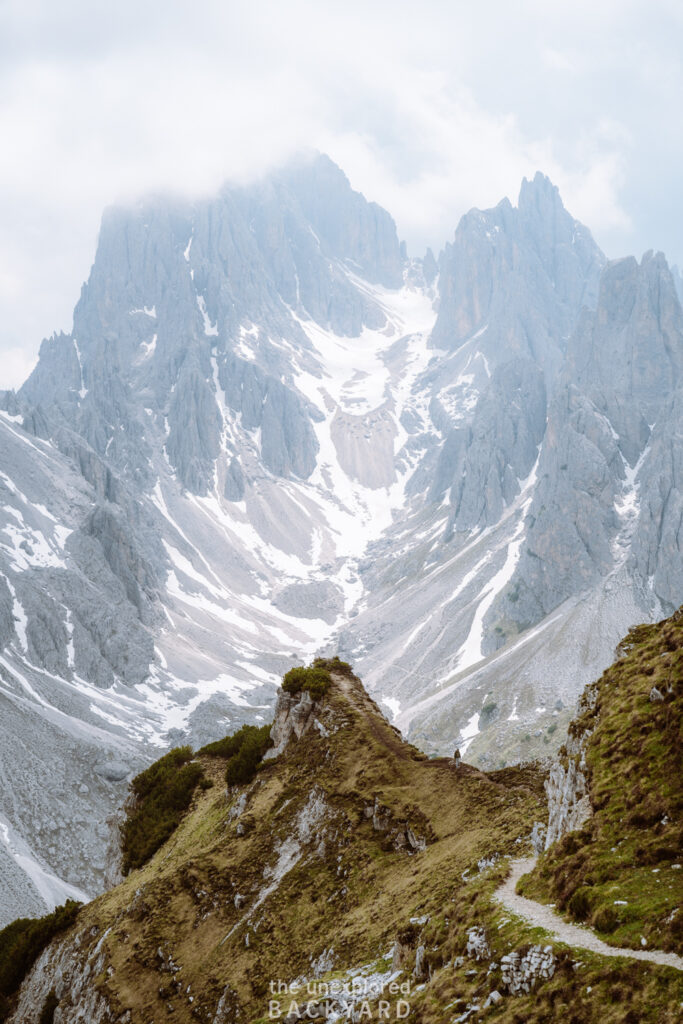
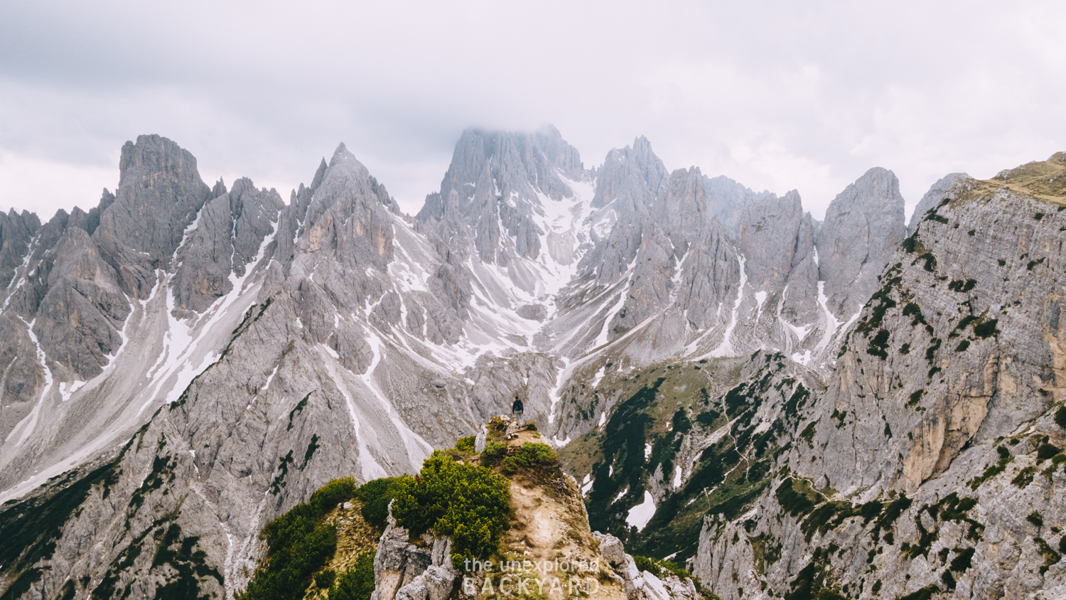
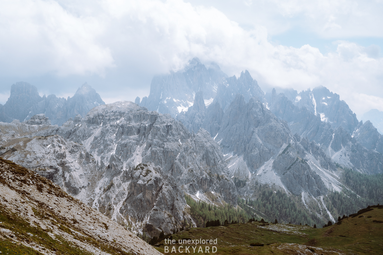
On the way to the parking lot, you will be able to spot the Cadini mountain range. If you are up for an extra challenge then make sure to hike to the famous Cadini di Misurina viewpoint as well. I will have a short guide on how to reach the viewpoint below!
Extra Hike: Cadini di Misurina
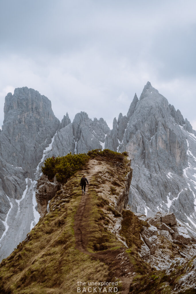
The Cadini di Misurina viewpoint is a short out-and-back hike from the parking lot. This hike is around 3 km in total. Start by heading to Rifugio Auronzo and follow the path to the right. This path will shortly join route #117 to Rifugio Col de Varda. After a while, the path will split into two trails. Make sure to take the right trail as it is much safer. Continue on this trail for around 10 minutes until you see the viewpoint. From here simply follow the trail down to the Cadini di Misurina viewpoint.
Disclaimer: The trails here are very narrow, especially the ridge leading to the famous viewpoint over the Cadini mountains. Do not attempt coming here after or during rainfall as it can be extremely slippery and there is not much room for error on this trail.
Hiking Gear and Where to Stay
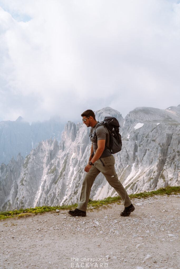
When coming to the Dolomites make sure to bring appropriate hiking gear, as the weather here can be very unpredictable. For this hike, and all others in the Dolomites range, I highly recommend wearing proper hiking boots. This is extremely important for open trails where you walk on thin ridges. If you want some extra support with the inclines I recommend also investing in some hiking poles. Not only will they help with the ascent, but they will also help stabilize your descent and put less pressure on your knees.
Additionally, make sure to wear layers. The sun comes and goes all the time, so you want to make sure you also have some warmer clothes in case it gets cloudy and the wind picks up. A rain jacket and rain cover for your backpack are also a must as it can start pouring rain without any warning.
Lastly, when planning to hike up the Tre Cime I recommend sleeping nearby so you don’t have a long drive in the morning. This is especially important if you are planning on starting the hike before 8 a.m. You can either book a night at Rifugio Lavaredo, which is located at the start of the hike or find a guesthouse nearby. Some great options include the area of Misurina and Sesto.
Best mid-range hotel: HOTEL de LEN
Best luxury hotel: Faloria Mountain Spa Resort
That concludes my guide on how to hike the Tre Cime di Lavaredo Circuit Trail. This is an incredible hike that everyone should experience at least once! I hope you found everything you need to know in the post above. If you have any more questions about how to hike Tre Cime di Lavaredo let me know in the comments.

