This post may contain affiliate links. By purchasing through my links you can help support me at no additional cost to you, thank you!
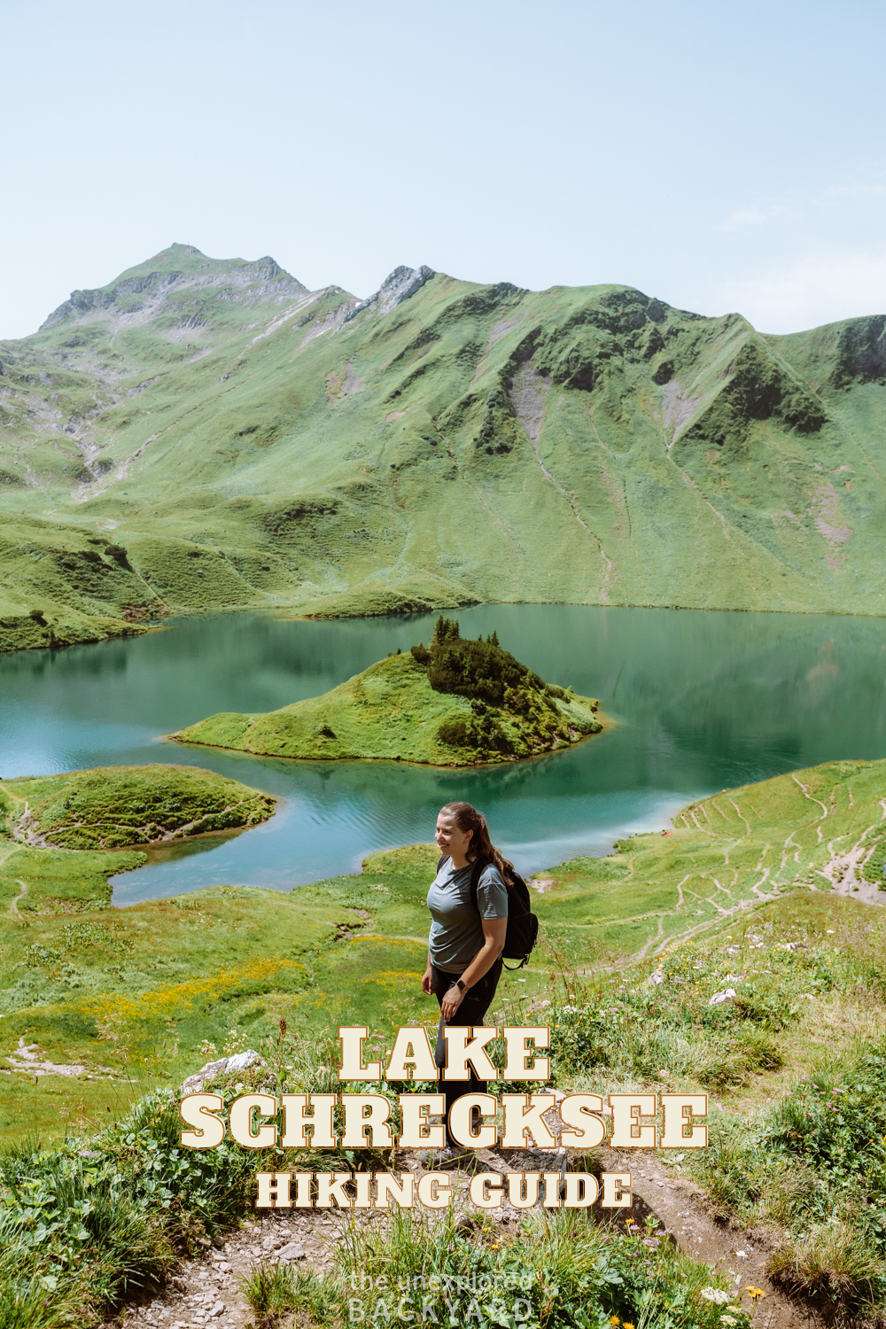
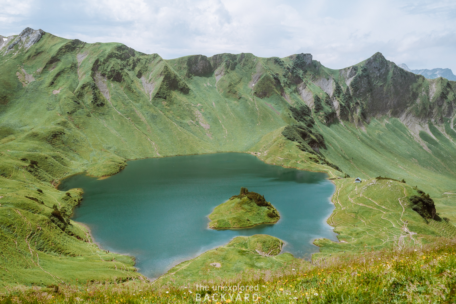
Lake Schrecksee is the highest alpine lake in Germany. This post is about how to hike Lake Schrecksee in the Bavarian Alps.
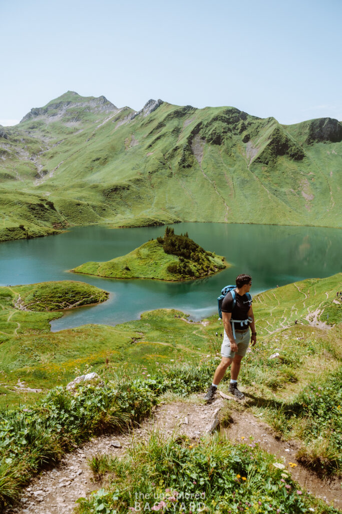
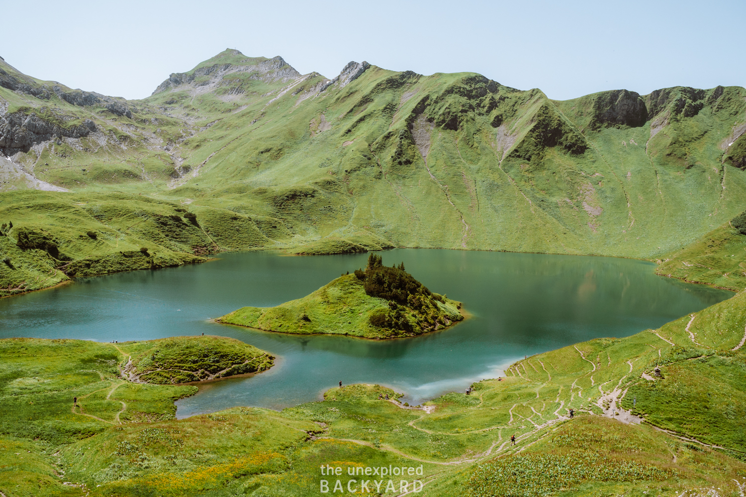
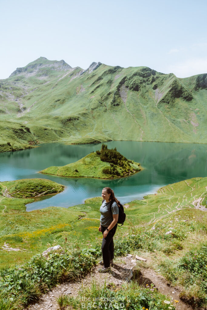
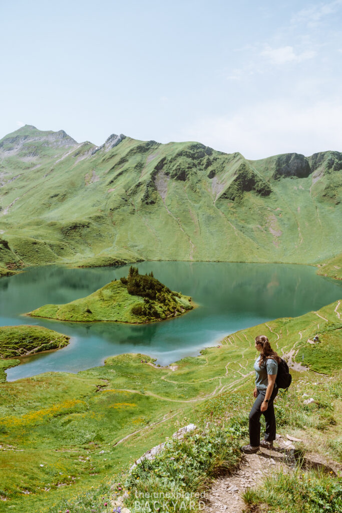
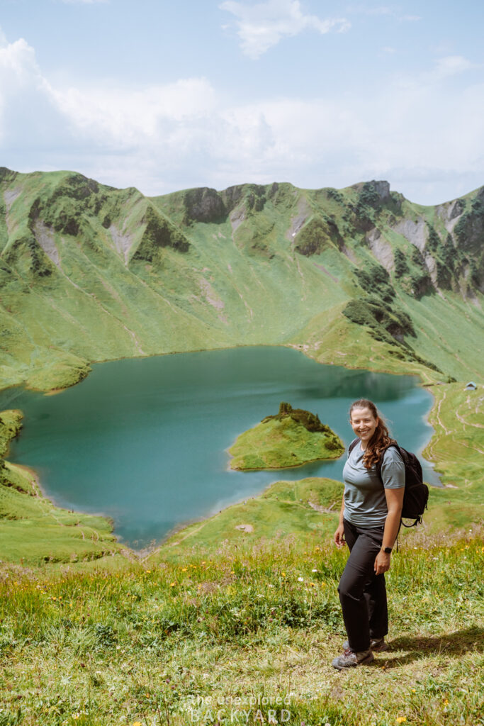
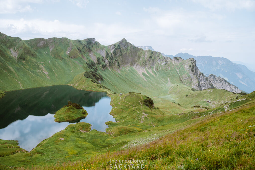
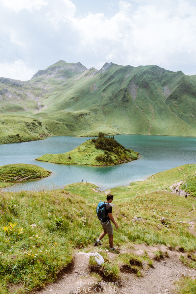
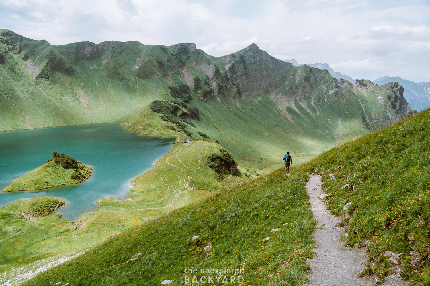
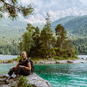
Nestled in the Allgäu region of the Bavarian Alps, Lake Schrecksee makes for one of the prettiest hikes in all of Germany. While the hike is not easy, the views at the end are so rewarding that it is worth the journey. From the dramatic landscape surrounding the lake to the cold and refreshing water, Lake Schrecksee has something for everyone. This lake is one of the most unique lakes in Europe, and a must-visit for hikers in the region.
Lake Schrecksee is still considered a hidden gem in the Bavarian Alps, as most locals don’t even know this lake exists. Therefore, finding out how to get here and hike up can be difficult for tourists who don’t speak German. In this guide, you will be able to find everything you need to know about the Schrecksee hiking trail. I will start by answering some frequently asked questions. Then I will explain how to get to the start of the hiking trail, both by car and public transportation. Additionally, I will also share when the best time to visit is and what you should wear/ bring on the hike. To make your hiking experience as seamless as possible, I will share a map of the trail, as well as a detailed hiking guide. Lastly, I will also share where to stay while hiking up Lake Schrecksee.
Overall, I hope this guide will inspire you to add Lake Schrecksee to your Germany itinerary so that you can witness this incredible sight yourself.
FAQs about Lake Schrecksee
Can you swim in Lake Schrecksee?
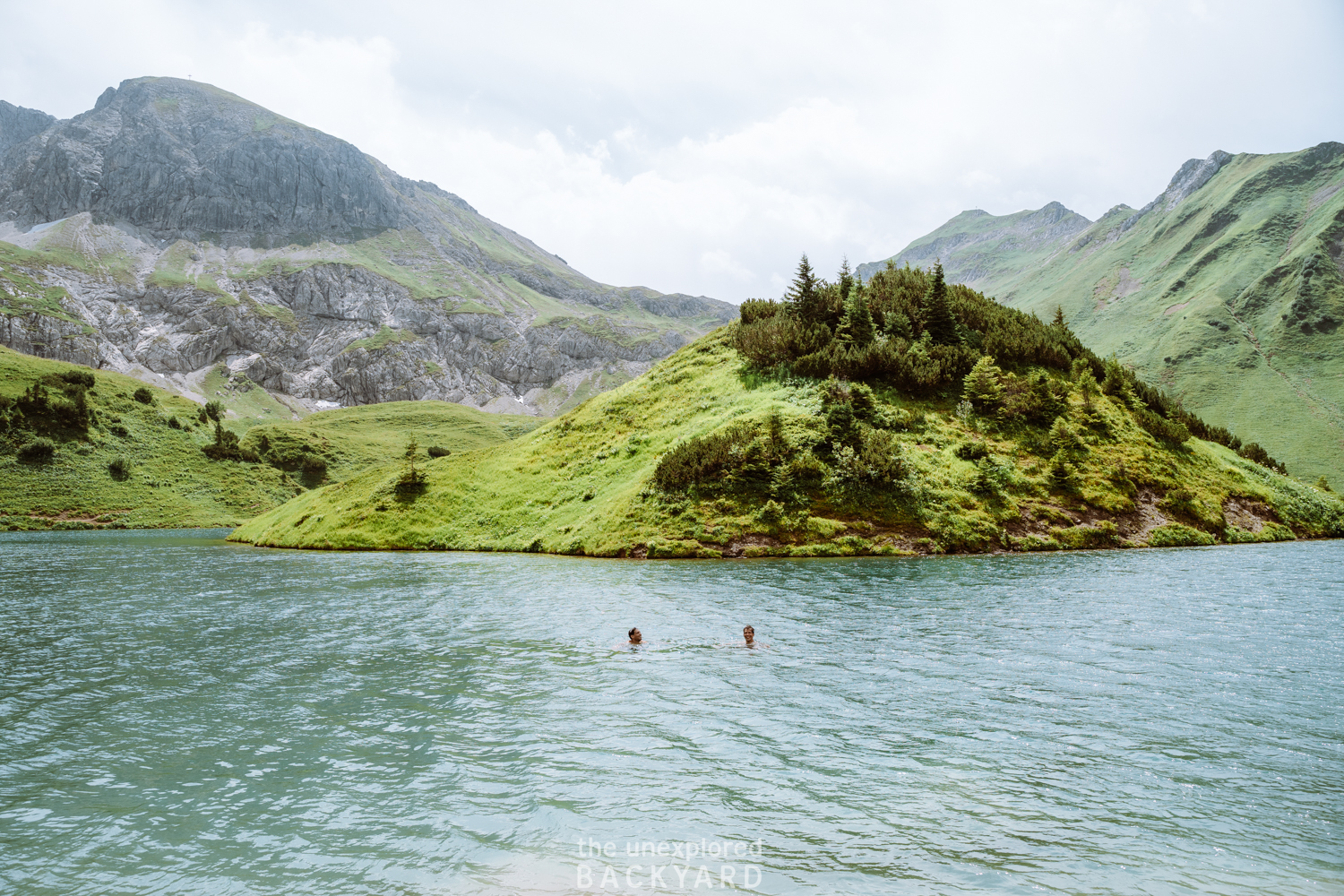
Yes, you can definitely swim in Lake Schrecksee. While it is allowed, I will just point out that swimming here is at your own risk. Since this is an alpine lake, the water is typically freezing, even in the hot summer months. In addition, the lake is frozen for the majority of the year. In order to avoid visiting while the lake is frozen, make sure to read below when the best time to visit is.
Where is Lake Schrecksee?
Lake Schrecksee is located in the Bavarian Alps. However, more specifically, the lake can be found in the Allgäu region and the hike up here starts from the village called Hinterstein. I will go into more detail about the location and hiking direction below so make sure to keep reading this post. Lake Schrecksee is also the highest lake in Germany, so a hike up here is well worth it.
This post is all about how to hike to Lake Schrecksee: the highest alpine lake in Germany
Visiting Lake Schrecksee – Important Information
Location: Allgäu, Germany
Elevation: The lake lies at a 1,813-meter elevation.
Maximum Depth of Lake: around 28 meters.
Allowed: Swimming, dogs (on a leash), cycling (on designated routes, you cannot bike the whole way up).
Not Allowed: Camping, staying overnight, drones, campfires, picking plants.
Important Note: Do not attempt this hike if the weather is poor or even if the forecast suggests any sign of rain. Even though the day we hiked up was a beautiful sunny day, we were caught in an unpredicted storm including lightning, rain showers, and hail on the way down. This is extremely dangerous and we were lucky nothing happened.
How to Get to Lake Schrecksee
Arriving by car:
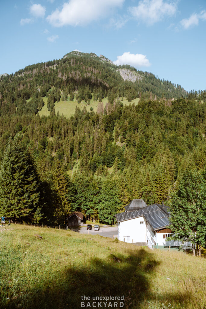
The easiest way to get to the starting point of the hike up to Lake Schrecksee is by car. There is a parking lot located right at the start of the trail making it very convenient. The parking lot at the start of the trail is called “Auf der Höh” Parkplatz and it is located in Hinterstein. This parking lot is relatively large, however, it can easily fill up on a warm day. Therefore I recommend arriving as early as possible, ideally before or around 8 AM. This is also because the hike is very long so it’s recommended to start early.
It will cost you around 10 euros to park here, as you will need to opt for a day ticket. Since the parking lot is not enclosed, you can arrive as early and leave as late as you would like. However, make sure to pay for the parking ahead of time. Once you arrive, you will need to pay and leave your ticket on the windowsill inside your car. Otherwise, you could risk getting a large fine, simply because you didn’t realize that this is how it works in Germany.
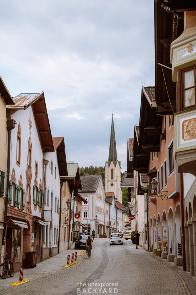
Pro tip: Make sure to check how far the drive to the starting point is from where you are staying the night. While this hike is located in Bavaria, it is around a two-hour drive from the Garmisch-Partenkirchen area. Therefore, you will either need to leave extra early or find a closer base to stay at for this hike.
Arriving by public transportation:
Arriving at the starting point for Lake Schrecksee by public transportation is not an easy task, but it’s definitely possible. If you decide to take public transportation, make sure to stay in the area overnight as the journey here is long. It appears that the easiest route to arrive is the following:
- If starting in Munich, take the train to Garmisch-Partenkirchen (RB6) which will take 1:30 hours.
- Then, take the EV bus to Reutte in Tirol (you will be crossing into Austria), this will take around 1 hour.
- From Reutte Bahnhof, you can take bus number 120 to Oberjoch Iselerbahn in Bad Hindelang, which will take you another hour.
- Lastly, from here you will need to take a local bus to Hinterstein as this is where the trail will start. There is no information on the large transportation sites regarding the local busses here, however, from my understanding, there should be a bus number 49 that drives to Hinterstein.
As you can see, the way to arrive by public transportation is very complicated. I recommend either to rent a car or try to carpool. There are several “Hiking Munich” and other Facebook groups. You can try joining one of these and seeing if others are interested in hiking here. Perhaps you can organize a carpool to the trail instead of this complicated route.
Making the trail shorter:
I will be sharing the exact hiking details for the trail leading up to Lake Schrecksee below. However, one thing to note is that the actual hike starts at a power station called “Kraftwerk Auele”. From the parking lot you have to walk along a pretty trail, and parts of a road to reach this station. This section of the hike is around 3 km and is very easy. Although this, it is possible to skip this section by taking a bus from Hinterstein.
From the parking lot, you should be able to take bus number 50 towards Auele (in the direction of Giebelhaus) and get off right at the start of the “real” trail. This is also possible to do on the way back, but the bus doesn’t run so frequently so check the schedule when you arrive in the morning.
When to visit Lake Schrecksee
As previously mentioned, this is the highest alpine lake in Germany. That means that the trail is not suitable for hiking all year long. In addition, I talked to a few people who visited the lake in early June and the water was still completely frozen, and there was lots of snow at the top.
Summer: The only time you should be hiking up to Lake Schrecksee is in the warm summer months when the trail conditions are good. While you should be able to hike here from Early June, it is not recommended if you would like to go for a swim since the lake is often still frozen. However, from around mid-July until September you should be able to swim in the lake and enjoy the warm weather.
Best time of day: The best time to visit Lake Schrecksee is midday, to enjoy the sunshine at the top and swim to cool off. In order to arrive at this time you need to start the hike early as it can take up to four hours to reach the top.
In addition, the weather can be quite unpredictable. Make sure to only hike up here if there is sunshine predicted, and based on the temperature on the morning of your hike. If the conditions change while you are at the lake (like they did for us) make sure to quickly get ready to begin the descent. The trail close to the lake is unstable and can be extremely slippery if wet. The hike in total will take around 9 hours so make sure to start it at 9 AM at the latest.
What to Wear on the Hike
The hike to Lake Schrecksee is a strenuous one, so below is a list of items to make sure to bring with you on the hike.
Clothing Essentials:
Hiking pants: Ideally bring hiking pants that can be made into long shorts, in case it gets warm.
Short-sleeved Dri-fit shirt: Since this hike is only possible in the summer, I recommend starting out with a short-sleeved shirt to avoid overheating. If you easily get cold, make sure also to bring a long-sleeved jacket you can pair over this.
Rain Jacket: Even if the weather report says it will be sunny, make sure to bring a rain jacket just in case! If you have rain pants, then it could be a great idea to bring them as well.
Hiking shoes: Proper hiking shoes are a must when hiking to Lake Schrecksee. The trail is sometimes unstable and the extra grip these shoes provide will definitely come in handy.
Swimsuit: I highly recommend that you bring a swimsuit with you in case you feel like going for a swim at the top!
General Essentials:
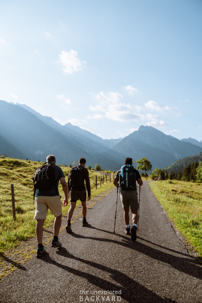
Hiking poles: While these are not a must, they are definitely highly recommended. If you do not have a high fitness level, I urge you to bring hiking poles to help you on the trail. Otherwise, these could be a great idea for all hikers. Not only can they give you a little support on the ascent, but they come in extra handy during the descent for stabilization and to reduce the stress put on your knees.
Water: Make sure to bring enough water! This hike is long and there is nowhere to refill water on the trail. Aim to bring at least 3-4 liters of water per person.
Food: There is no hut on the trail here, so make sure to bring enough food to last the day. Remember that you will be hiking for around 8 hours in total, so bring enough to keep you sustained. We packed 3 sandwiches per person and also carried a pack of gummy bears. I highly recommend doing this as it really helped when we needed quick sugar to boost our energy.
Towel: If plan to go for a swim then make sure to remember a towel. You don’t want to have to hike down three hours in wet clothes.
Rain cover for your bag: If it starts to rain, there is nowhere to hide on the trail and find cover. Therefore, I highly recommend bringing a rain cover for your bag to protect your valuables. As mentioned before, we got caught in a harsh storm and my bag rain cover saved my camera from being totally ruined!
Hiking Details
Before going into the detailed hiking trail to reach Lake Schrecksee, I have listed some general statistics regarding the trail. In addition, you can find an interactive map with different interest points and the marked trail for your use on the hike. Please note that this map does not work offline, so you can only access it while you have service.
Distance: ~ 16-17 km in total.
Difficulty: Medium/ Challenging depending on fitness level.
Time needed: 8 – 10 hours. The average time it takes to reach Lake Schrecksee is 3-4 hours, so the total time also includes breaks and time spent at the lake.
Elevation gain: ~ 1,000 meters (will be a little over 900 if you choose not to hike up to the viewpoint around the lake)
Type of trail: Out-and-back (same trail)
Hiking Directions to Lake Schrecksee – The Highest Alpine Lake In Germany
(step-by-step guide)
Hinterstein Parking Lot to Kraftwerk Auele
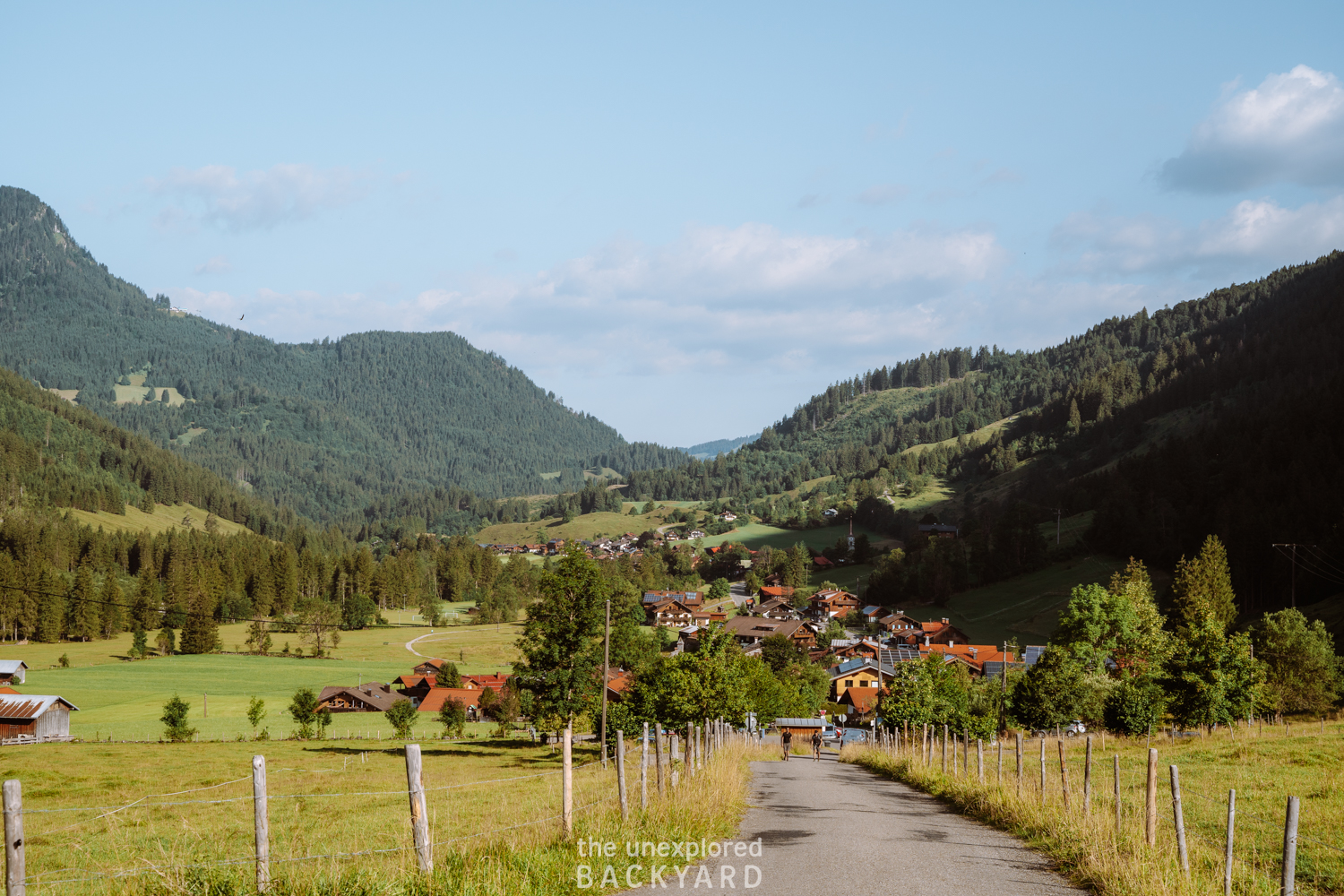
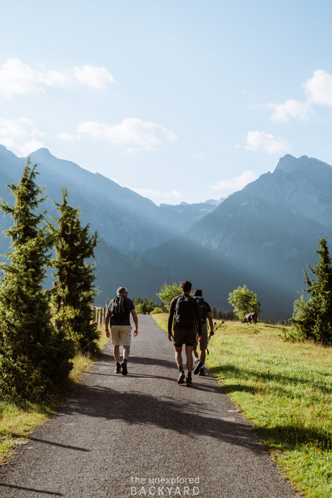
This section is around 3 km in total and will take you around half an hour. As previously mentioned, the trail starts from the back of the “Auf der Höh” parking lot in Hinterstein. From the parking lot, take the trail heading straight, towards Kraftwerk Auele. The trail itself does not appear to have a name at this point, but the route to the power station is extremely straightforward. You can also find the directions on Google Maps in case you are unsure.
On the way, you will pass through a cow grazing field. After a while, you will reach a small stream where the trail splits, keep going straight. The trail will soon hit the road called Giebelstraße, and you will need to walk on the road for this part. On your way to the power station, you will see a hut called Konstanzer Jägerhaus which will indicate that you are close to the station.
Once you reach Kraftwerk Auele, you will clearly see a signposted trail to Schrecksee, on the right side of the building. From here the real trail begins.
Kraftwerk Auele to Stausee des Wasserkraftwerks
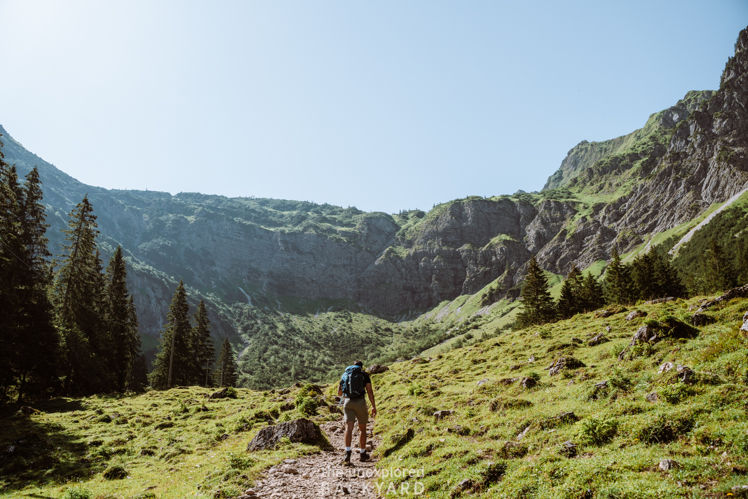
This section, while only about a kilometer in distance, is where the elevation begins so plan for it to take around 40 minutes. You will need to climb an elevation of around 300 meters here, so take your time and take longer breaks if you need to.
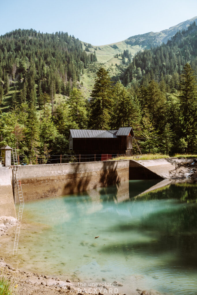
The trail up here is very well-marked and there is no way to get lost. You will also notice that there is a ribbon fence marking the trail through the forest. The Stausee des Wasserkraftwerks is a small pool of water used in the power station. While it is forbidden to swim here, it makes for a great view for a quick stop.
Stausee des Wasserkraftwerks to Lake Schrecksee
Part 1 – The Easy Section
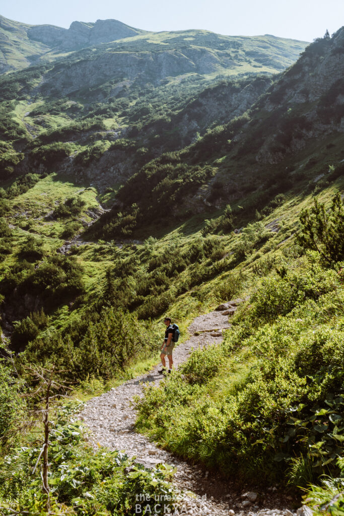
Unfortunately, from here there are no clear spots to stop on the trail to Schrecksee. Therefore, I will explain the rest of the trail in this section. The only trail here goes to Lake Schrecksee, so you don’t need to worry about getting lost. From this pool, you will have another ~ 100 meters of elevation before the trail flattens out.
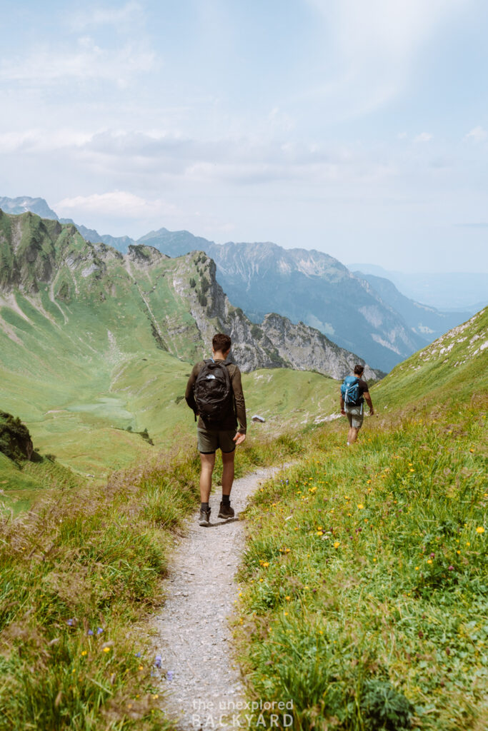
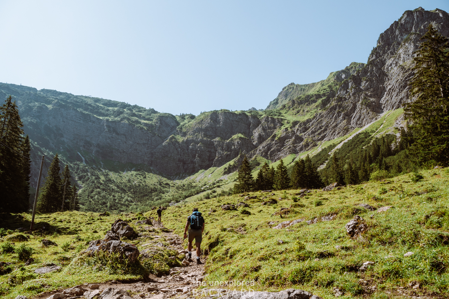
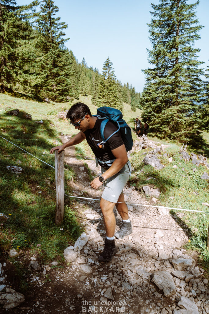
Once you reach the top of the forest, you will notice the trail flattens and the mountain peaks in front of you. The trail will continue straight until you have to start climbing over these peaks. Lake Schrecksee does not lie just after the first mountains, but after you reach the top you will have to climb a little more 😅. This part of the trail is around 3 km long. During some parts, you will have to cross over a low white ribbon fence on the trail. Do not be alarmed, this is simply here to make sure the cows stay in the area.
Part 2 – The Difficult Climb but Last Push
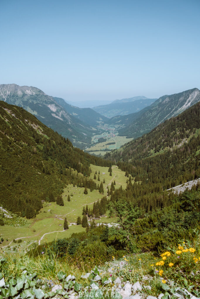
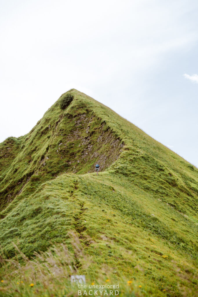
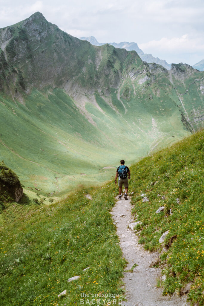
Once you reach the start of the trail at the bottom of the peaks, you will have entered the last third of the hike. Take your time here, as this is a strenuous 2-3 km climb up and will take you around 1:30 hours. Expect an elevation gain of around 500 meters over this short distance. Please make sure you drink water at regular intervals to stay hydrated. Once you are near the end of this climb, remember to look down at the valley. You will be able to spot Hinterstein, the village from which the hike starts.
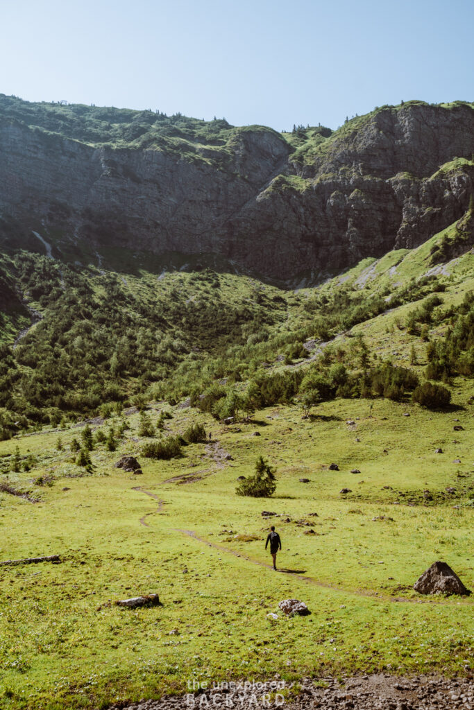
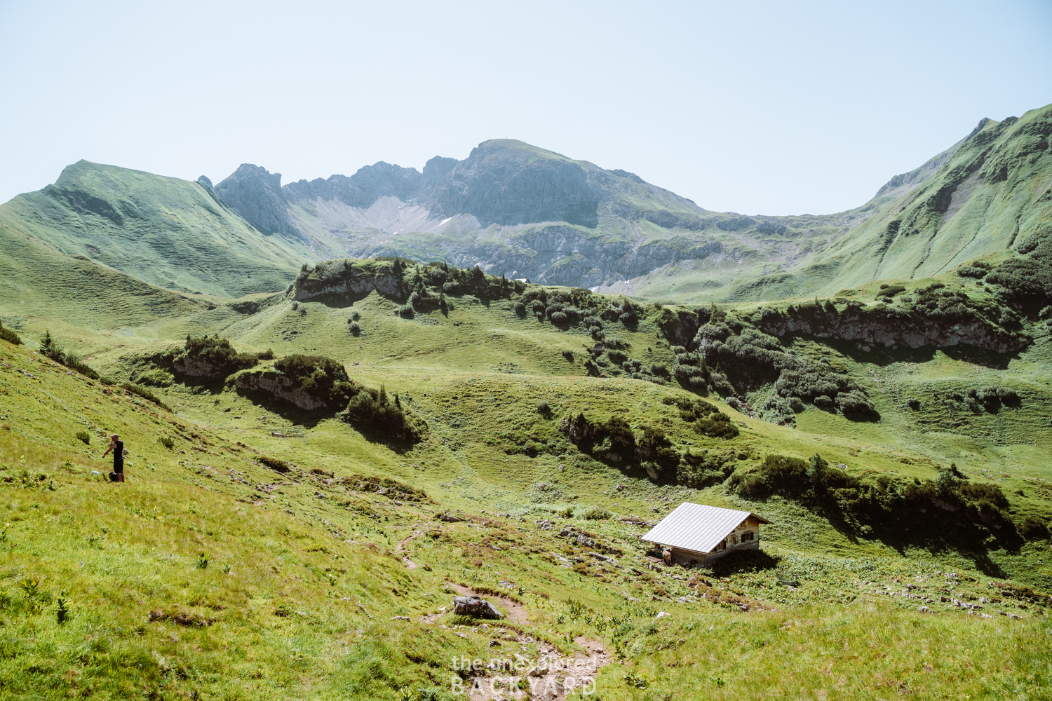
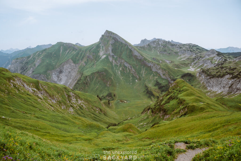
Unfortunately, the hike is not yet done. Once at the top of the first mountains, you still have a bit more to go. Continue on the trail for around 30 minutes, with an elevation gain of just under 100 meters. At the 20-minute mark, you should have reached a beautiful green valley, with a small abandoned-looking hut in the middle. If you are wondering where the lake is, hold on – it is just over the lowest peak in front of you. Continue for 5-10 minutes and you will instantly recognize the jaw-dropping view of Lake Schrecksee.
Getting back to the starting point will be very easy. Simply take the exact trail back down until you reach the parking lot. The hike down is not much faster than the hike up, as you need to be very careful not to slip. Therefore, I recommend you take into account around three hours for the hike back.
Viewpoints over Lake Schrecksee
Where to Stay While Hiking Lake Schrecksee
Best mid-range hotel: Hotel Prinz-Luitpold-Bad
Best luxury hotel: Panoramahotel Oberjoch
Best mid-range hotel: Werdenfelserei
Best luxury hotel: Obermühle 4*S Boutique Resort
That concludes my complete guide on how to hike up to Lake Schrecksee. This lake is so unique that is definitely one of the best hikes in Bavaria. While it is not suitable for all, if you are in good enough shape to complete the trail, make sure to add it to your Germany itinerary!

