This post may contain affiliate links. By purchasing through my links you can help support me at no additional cost to you, thank you!
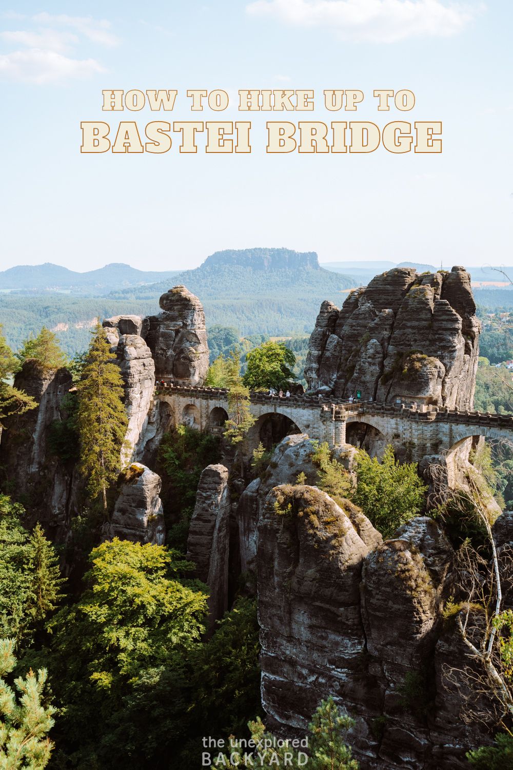
No trip to Germany is complete without hiking to the Bastei Bridge in Saxon Switzerland – the perfect day trip from Berlin!
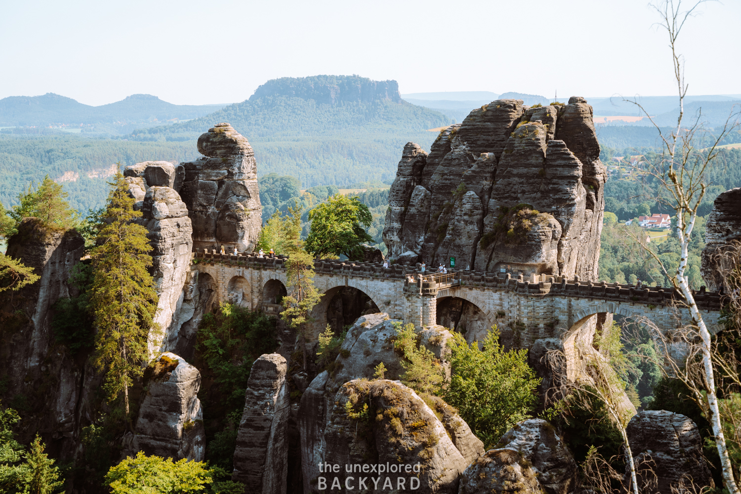
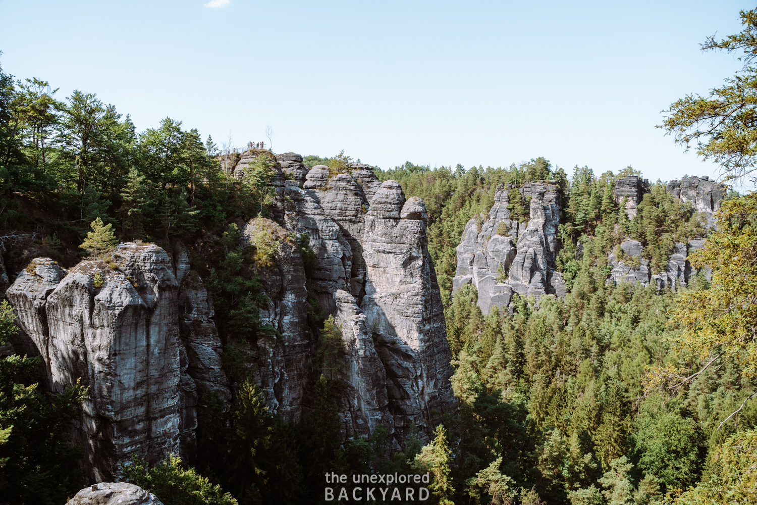
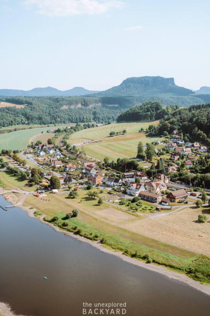
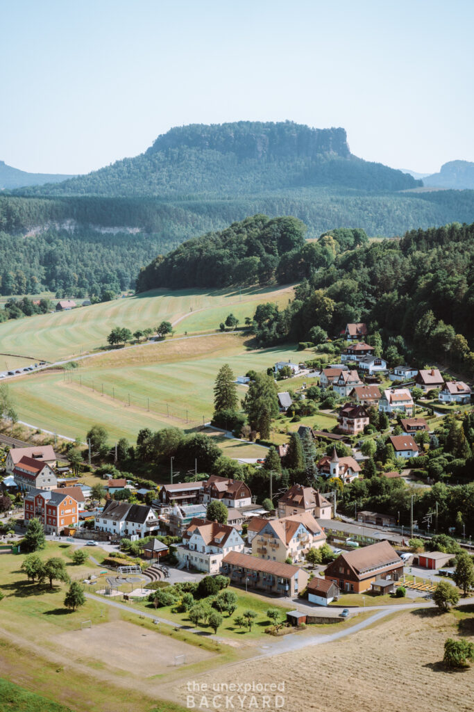
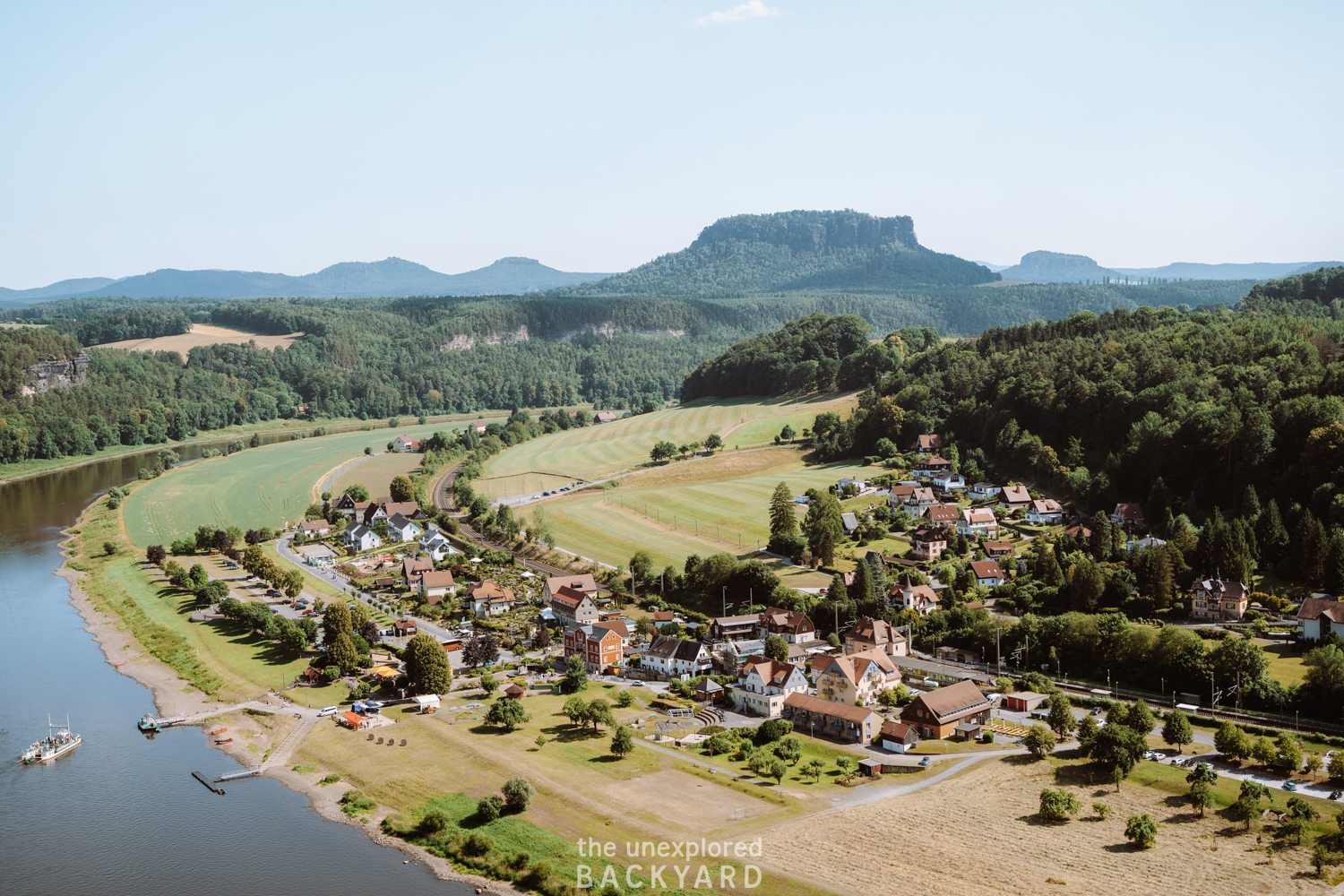
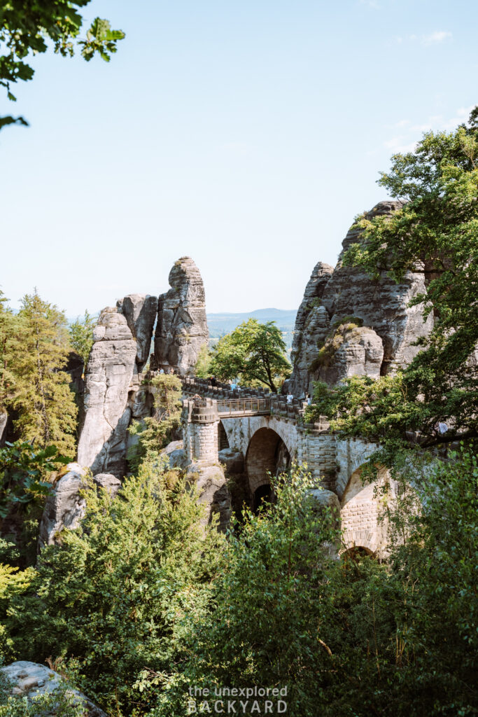
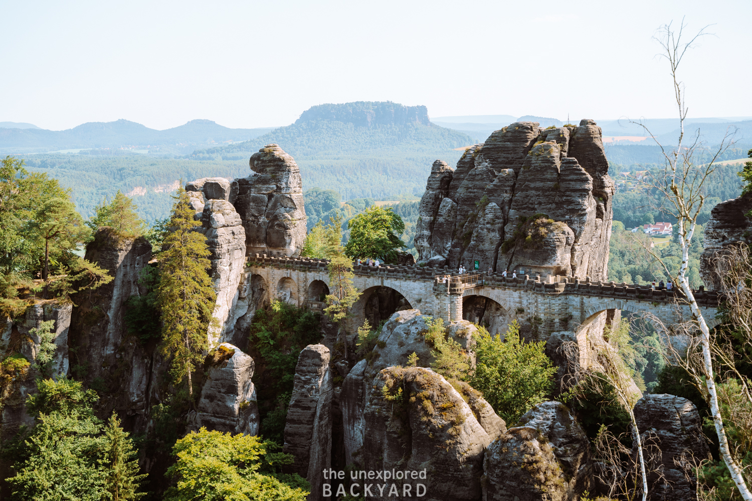
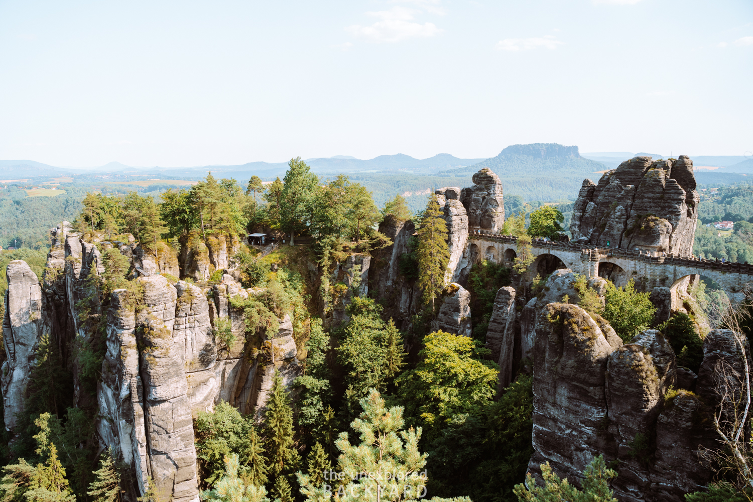
If you love an adventure and want to witness one of the most unique landmarks in Germany, the Bastei Bridge (in German: Basteibrücke) hike is an absolute must on your travel itinerary. Nestled within the breathtaking landscapes of Saxon Switzerland National Park, this trek promises stunning views and an unforgettable experience. As you lace up your hiking boots, get ready to explore the iconic Bastei Bridge and the mesmerizing Bastei Rock Formation, perched high above the Elbe River.
In this post, I’ll go through the essentials of the Bastei Bridge hike – from answering frequently asked questions to providing crucial general information. Discover how to navigate the trail, when’s the best time to visit this natural wonder, what to pack for the journey, and even statistics to prep you for the adventure ahead. Whether you’re a seasoned hiker or a casual explorer, I’ve got you covered with practical advice on hiking directions and general directions for those who prefer a less strenuous journey. Luckily, the Bastei Bridge is very easy to access so it’s possible to visit and enjoy this wonderful place without having to hike. Lastly, at the end, you can find recommendations for nearby accommodations to make planning your trip a breeze.
Visiting the Bastei Bridge had been at the top of my bucket list even before moving to Germany so it was just a matter of time until I made it here. Whether you choose to hike up (which I highly recommend) or take the car to the top, I hope this post inspires you to add the Bastei Bridge to your Germany Itinerary!
FAQs about the Bastei Bridge Hike
Is Bastei Bridge in Germany or Switzerland?
The Bastei Bridge is located in Germany, specifically in the Saxon Switzerland National Park. Contrary to its name, it’s not in Switzerland but is nestled in the stunning German landscape, offering breathtaking views of the Elbe River and the surrounding rock formations. Many people get the location of the Bastei Bridge confused since the park has Switzerland in its name. I don’t think they thought how much confusion this would cause when they named the national park 😅. The Saxon Switzerland National Park got its name from people exclaiming that the nature here reminded them of the Swiss landscape. Since it is located in the Saxony German state it is called Saxon Switzerland.
How long does it take to hike to Bastei?
When it comes to the duration of the hike to Bastei Bridge, it’s essential to consider your starting point. The most common starting point is from the town of Rathen, and from there, the hike takes approximately 30 minutes. However, I will show you how to hike to Bastei from Hohnstein as it makes for a beautiful and rewarding hike. Since there are many possibilities as to how to hike to Bastei, you can pick and choose the one that fits you. While the focus of the route below will be from Hohnstein to Bastei, I will also provide several other alternatives. Then you can choose the one you would like based on your fitness level and the amount of time you have.
How to get to Bastei Bridge from Dresden by public transportation?
To embark on a journey from Dresden to the Bastei Bridge using public transportation, start by taking the S1 train towards Bad Schandau from Dresden Hauptbahnhof. You will need to get off at the stop called Kurort Rathen. This scenic train ride typically takes around 35 minutes and runs every half hour. Upon arriving in Kurort Rathen, you will need to take the F7 ferry across the Elbe River to start the hike up to Bastei Bridge. It runs every 10 minutes and transports you to the town of Rathen. Then from there, it’s just a short 30-minute hike up to Bastei Bridge filled with scenic spots and viewpoints.
This post is all about how to hike up Bastei Bridge in Saxon Switzerland, Germany.
Visiting Bastei Bridge – Important Information
Location: Saxon Switzerland National Park, Germany.
Elevation: 305 meters.
Allowed: Dogs (on a leash), cycling (on designated routes), horse riding (on designated routes), climbing, camping in the open air (only if climbing, it is forbidden between February 1st until June 15th to give the animals a period of rest in their breeding season), campfires (on designated routes), mushroom picking (only small amounts for personal use).
Not Allowed: Camping vans, picking plants, hunting, walking off trail, water sports, swimming, air sports, drones, smoking, disposing of waste, feeding animals, loud noise.
How to get to Bastei Bridge
There are several ways to get to Bastei Bridge and it will highly depend on the hiking route you choose to take. I always offer directions both for those who have a car and those using public transportation. In addition to this, in each section, you will find 3 different options. The first is if you do not wish to hike up to the Bastei Bridge. The second option will be for those who choose the short hike from Rathen. The last option will be the one I recommend and will include directions to reach Hohnstein to start the longer hike to Bastei Bridge.
The Bastei Bridge is considered a popular day trip from Berlin with many tours to choose from. If you only have one day, then I will highly encourage you to take the journey out to this German natural landmark as it is truly unique. However, if you have some more time, then please consider taking a weekend trip to Saxon Switzerland National Park. There are so many incredible hikes in the park that are just as worth visiting as the Bastei Bridge. Just a heads up – the driving distance from Berlin is around 3 hours.
If you don’t have a car, then you could take a train to Dresden which is located just 2 hours away, and then join a guided day trip to Bastei Bridge!
Arriving by car:
Directly to Bastei Bridge:
If you simply want to get to Bastei Bridge without completing a hike to arrive, then you can drive all the way up and park around 700 meters from the iconic landmark. The parking lot is called “Parkplatz Bastei” and it will cost around 7 euros to park here for 4 hours. Since this is the only parking lot by the bridge, keep in mind that it fills up quickly in peak times.
Parking at Rathen:
If you would like to hike the shorter route from Rathen then I recommend parking at the “Parkplatz Oberrathen“. This parking lot is located across the town of Rathen on the other side of the Elbe River. Since there aren’t any official parking lots in Rathen, it is best to park here instead. Parking should cost around 1.50€ per hour or 7€ for a whole day, although prices are of course subject to change.
There is a public restroom at this parking lot which is also convenient after a long drive. To reach the starting point of the hike you will need to take the F7 ferry across the river. This takes just 2-3 minutes and the ferry runs every 10 minutes, making it very convenient to park here.
Parking at Hohnstein:
If you would like a more challenging hike in the Saxon Switzerland National Park, then this is the option for you! Personally, I love going on a longer hike to reach a viewpoint, as it makes me enjoy the scenes at the top even more since I had to work for it. To arrive here, you need to put “Hohnstein Parkplatz Eiche” into your navigation system. It costs just 5€ to park here for the day. Then you can start the hike directly from the parking lot. I will go into the exact step-by-step hiking instructions from here to Bastei Bridge below.
Arriving by public transportation:
Directly to Bastei Bridge:
It’s quite easy to get to Bastei Bridge by public transportation. I will provide the exact directions to arrive from Dresden since that is the closest city to the Saxon Switzerland National Park. Dresden is well connected with the rest of Germany, so you can easily get to Dresden by train or flixbus. From Dresden, you want to get to Pirna. Take either S1 (towards Bad Schandau) or S2 (towards Pirna) from Dresden Central Station. The journey is just 22 minutes long, and then you will get off at the stop called Pirna. The trains go every roughly 15 minutes, so there is no rush to make a specific train.
At Pirna, you want to transfer and exit the station. Right outside the train station, you will find the Pirna ZOB (Central Bus Station). Then from Pirna ZOB you want to take bus number 237 towards Sebnitz Busbahnhof. After around 25 minutes you will get off at the stop called “Bastei” and from there, it’s just a quick 10-minute walk to the famous Bastei Bridge. The bus schedule appears to change seasonally so you can find the updated timetable here.
Arriving at Rathen:
To reach Rathen you will take a similar route as above. From Dresden take the S1 train line towards Bad Schandau and get off at the stop called Kurort Rathen. It will take you roughly 33 minutes to get here and then you will need to take the F7 ferry across the Elbe. This is just a quick 2-3 minute ride and the ferry runs every 10 minutes. From the ferry stop in Rathen, you can start your hike up to Bastei Bridge.
Arriving at Hohnstein:
Reaching Hohnstein by public transportation is a little more complicated than the first two options but not by much. Just like in the first option, you will take the S train from Dresden to Pirna. Then from Pirna ZOB you can take the 236 or 237 route towards Sebnitz Busbahnhof. After 45 minutes, you will arrive at the stop called “Hohnstein Markt”. Get off here and then you can actually start your hike directly from the bus station. Once again the bus schedule is not always easy to find, so check out the official schedule here.
Since you are coming by public transportation, you can hike down to Rathen after Bastei Bridge if you prefer, and won’t have to make the return journey. This means that the route going back to Dresden, or wherever you choose to go, will be a little simpler.
When to visit Bastei Bridge
Visiting the Bastei Bridge is worth it pretty much all year round. Since it is so accessible, you can always drive directly to the top to enjoy the views if the weather isn’t ideal for hiking. With that said here are a few of my recommendations for visiting.
Time of Year:
I would personally recommend visiting in Spring or Summer. In spring there will be lots of flowers blooming, and the fresh newly green trees are just beautiful. However, I would say the absolute best time to visit is anywhere between June – mid-November.
From early June, you can be sure that the surrounding nature is green and thriving. So the Bastei Bridge will offer beautiful views over the Saxon Switzerland National Park. Additionally, hiking up to Bastei Bridge in the fall is an amazing option. The leaves in Germany typically start to turn orange and red in the second half of October. Therefore visiting between late October to mid November will offer scenes of colorful leaves.
Time of day:
One of the disadvantages of the fact that the Bastei Bridge is so easy to access is that it is almost always filled with tourists. Considering its remarkable beauty this makes total sense, and while there were a lot of people when we visited, it was surprisingly not too bad. Many of the people at the top come on day trips from Berlin meaning the most popular hours are anywhere between 11 – 16.
If you would like to witness this natural landmark at a quieter time, with fewer people around, consider coming for sunrise or sunset. Not only will it be quiet, but the soft light will make the views even more picturesque. If you choose to stay overnight in the park, you can do the full hike during the day, and always drive back up another day to see the bridge at sunrise.
What to wear on the hike to Bastei Bridge
Since there are several ways to reach Bastei Bridge, I just want to note that the section below on what to wear and bring is mainly targeted toward those choosing to hike from Hohnstein. This is because the hike is long and the necessary equipment is required. However, even if you choose the shorter hiking route, you are welcome to take inspiration from this and dress accordingly.
Clothing Essentials:
Hiking pants: Ideally bring hiking pants that can be made into long shorts, in case it gets warm.
Short-sleeved Dri-fit shirt: The weather is always subject to change so make sure to bring some layers. I always recommend a dri-fit shirt for maximum comfort during your hike.
Rain Jacket: Even if the weather report says it will be sunny, make sure to bring a rain jacket just in case! If you have rain pants, then it could be a great idea to bring them as well. You can’t always trust the weather reports, and it is best to be on the safe side when hiking in nature.
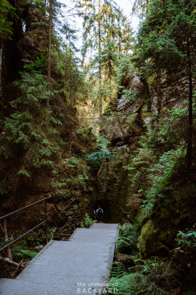
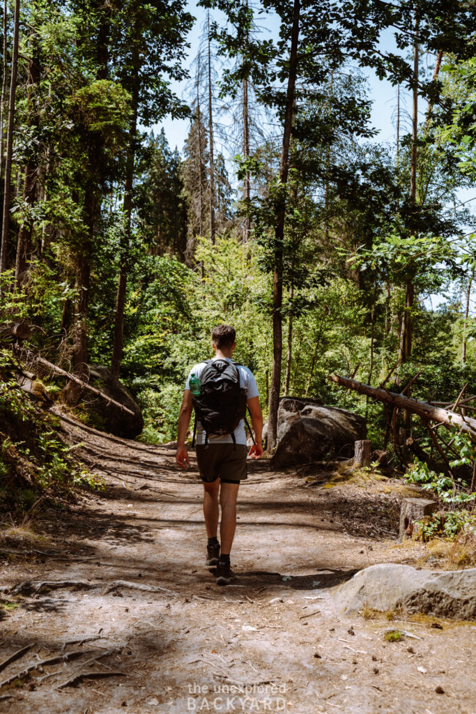
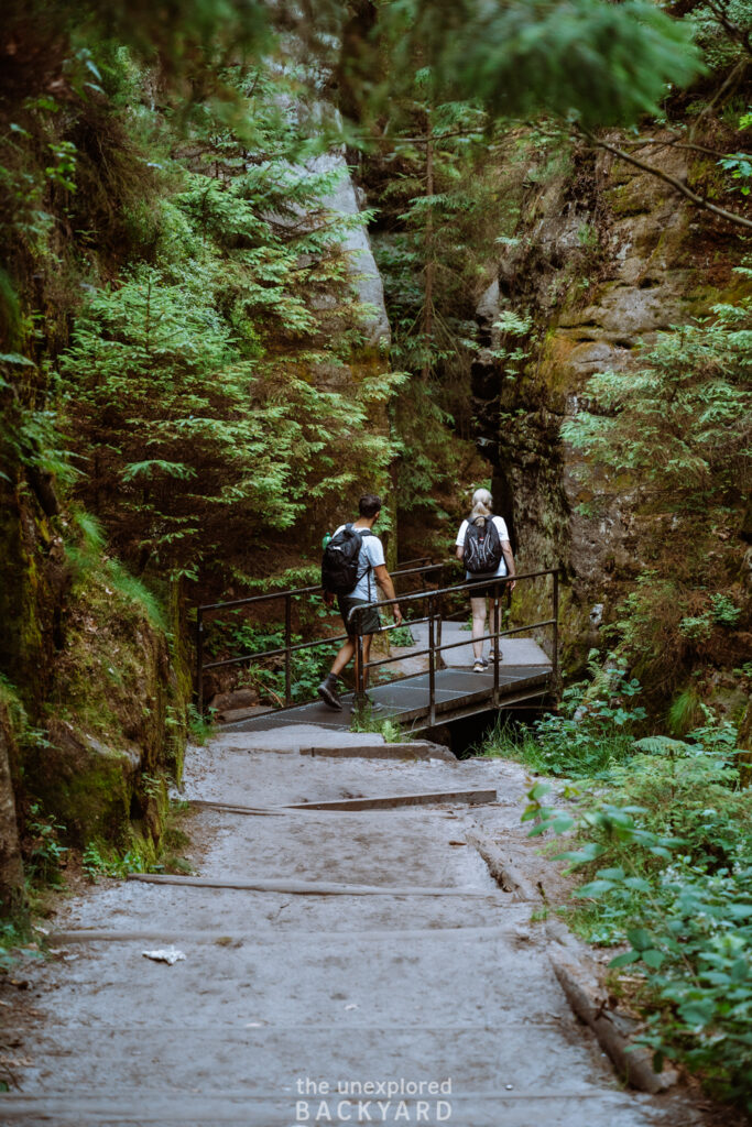
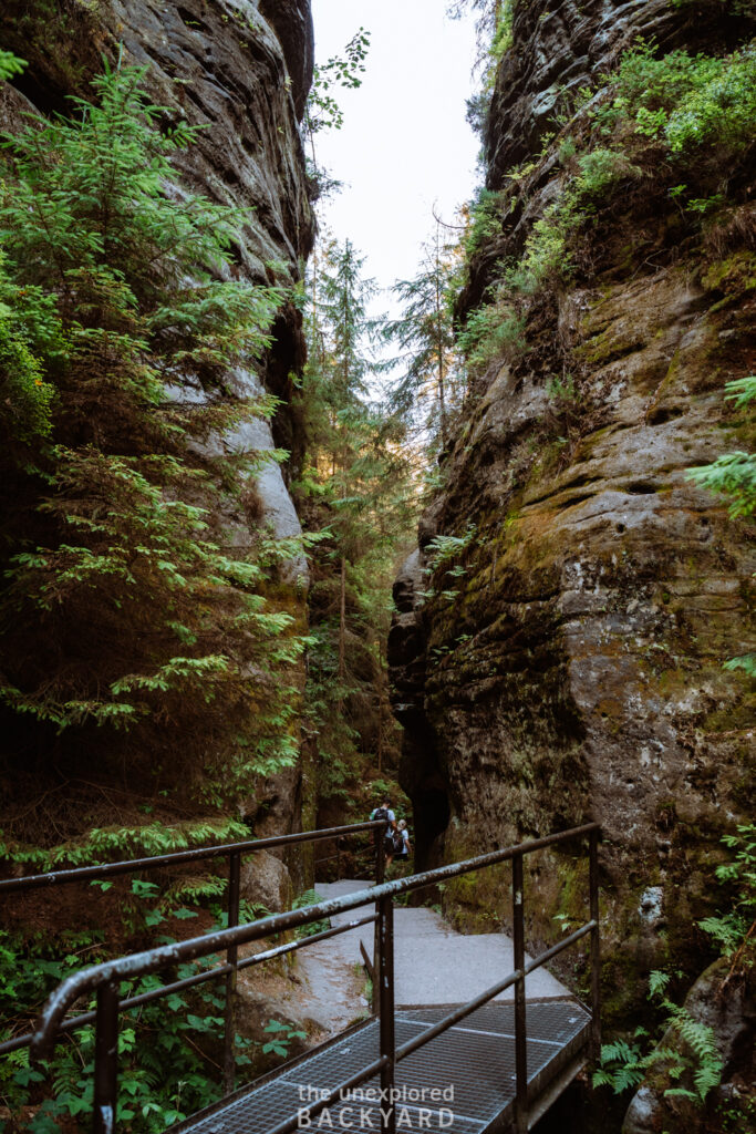
Hiking shoes: Proper hiking shoes are a must when hiking in the Saxon Switzerland National Park. Although the trail up to the Bastei Bridge is fairly large, there can be a lot of loose pebbles on the trail and much of the route goes through a forest. My mom attempted this hike in sports shoes and she regretted this – you have been warned 😅.
General Essentials:
Hiking poles: While these are not a must, they are highly recommended. If you do not have a high fitness level, I urge you to bring hiking poles to help you on the trail. Otherwise, these could be a great idea for all hikers. Not only can they give you a little support on the ascent, but they come in extra handy during the descent for stabilization and to reduce the stress put on your knees. Again, make sure to learn from my mom’s mistakes 🤪.
Water: Make sure to bring enough water! This hike is fairly steep and the only way to refill your bottles is by buying water in the restaurants at Bastei Bridge. Aim to bring at least 3-4 liters of water per person.
Food: While there are some restaurants at the top of Bastei Bridge, they are quite touristy and don’t look that amazing. In addition, I’m not sure that they have enough options to cater to various dietary restrictions. If you are vegan or gluten-free, I recommend bringing your own food just in case.
For those who don’t mind splurging a bit on food, then the “Panorama restaurant Bastei” is recommended (although mostly for their scenic views). If you decide to check it out, then make sure to reserve a table in advance.
Towel: A dri-fit towel is an essential that I always carry with me, even when there is no swimming involved in a hike. It can always come in handy if you want to sit down on wet or muddy grass.
Rain cover for your bag: I highly recommend bringing a rain cover for your bag to protect your valuables in case it starts to rain. Bringing a rain cover for my bag has saved my camera from being ruined several times!
Hiking Details (Bastei Bridge)
Before going into the detailed hiking directions to reach the iconic Bastei Bridge, I have listed some general statistics regarding the hike. All of the information below is based on completing the hike from Hohnstein. This is because the hike from Rathen is very straightforward and short, so there is no need to go into specifics. In addition, you can find an interactive map with different interest points and the marked trail for your use on the hike. Please note that this map does not work offline, so you can only access it while you have service.
Distance: ~ 15.5 km in total.
Difficulty: Medium / Challenging depending on fitness level.
Time needed: 4 – 6 hours depending on your speed and how long you choose to stay at Bastei Bridge.
Elevation gain: ~ 527 meters.
Type of trail: Out-and-back (same trail) with a small loop around Bastei Bridge.
Hiking Directions to Bastei Bridge
(step-by-step guide)
Hohnstein to Pension und Gaststätte Polenztal
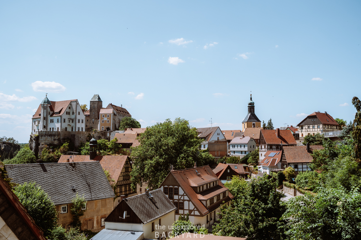
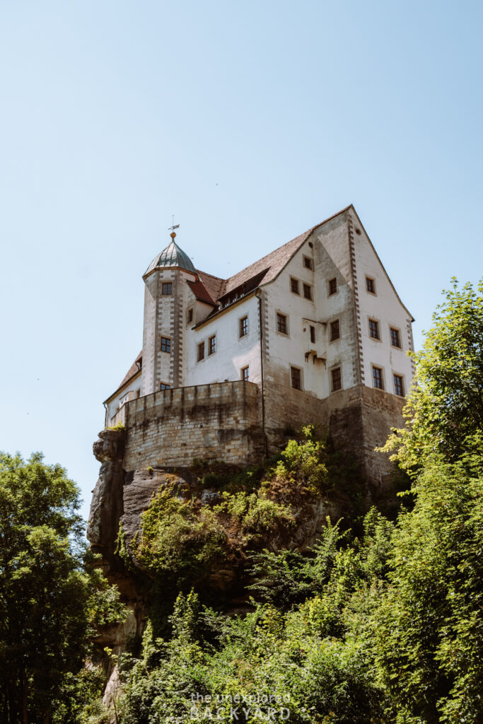
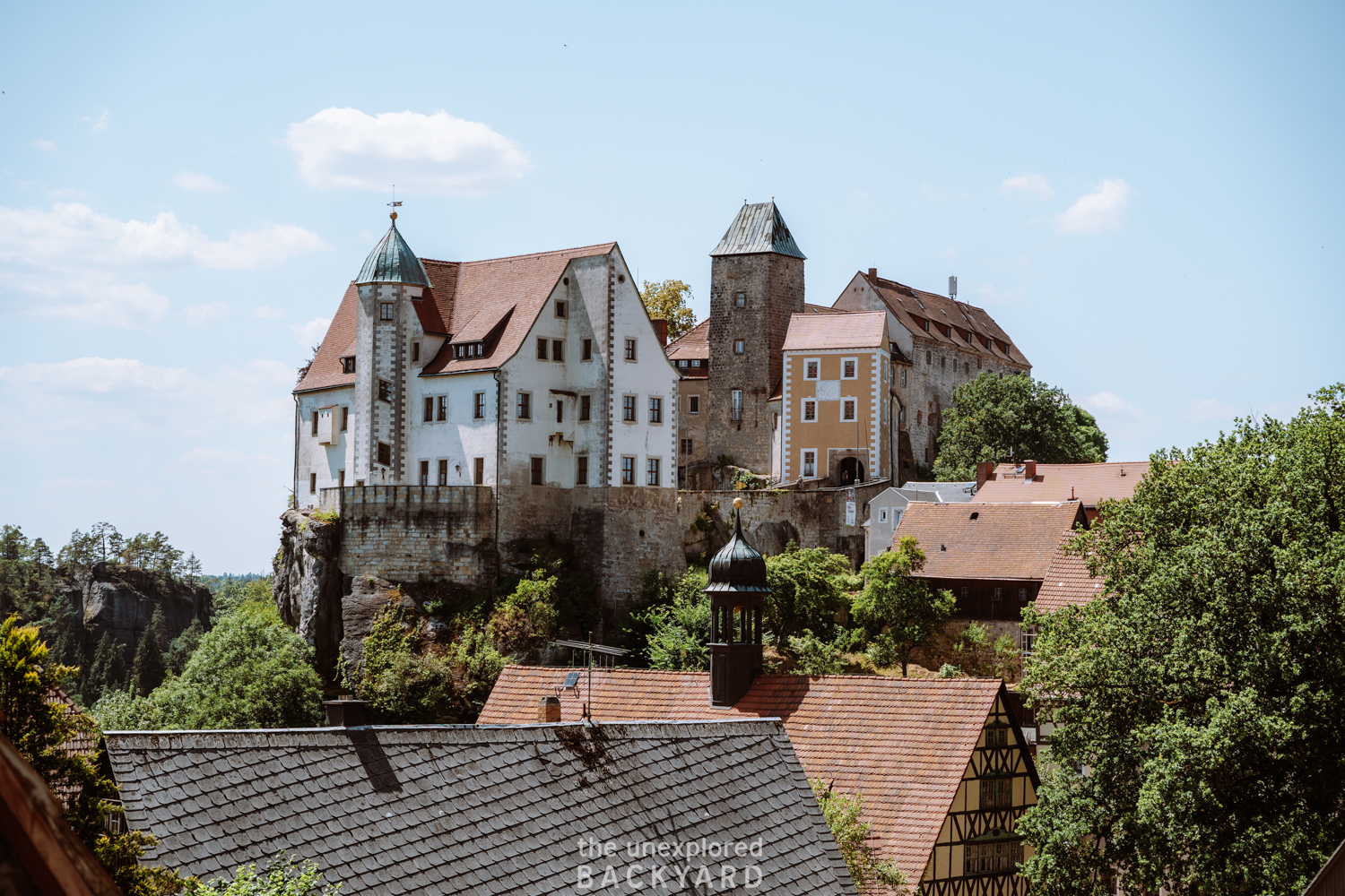
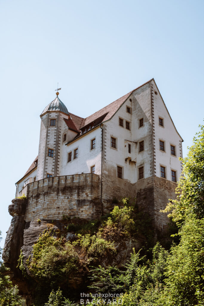
This first section is fairly easy and short. Start by following the Bärengarten trail going out of Hohnstein. Just after starting this trail, you will see the beautiful Burg Hohnstein looming on top of you. Pro tip – this is a great photo spot! After a few minutes, you will reach a crossroads where the trail splits into 3 options. You want to take the trail that is called Schindergraben and is the only one going down.
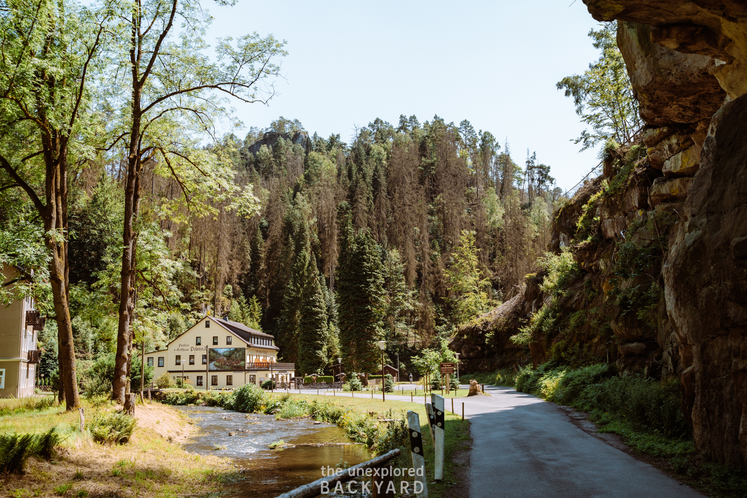
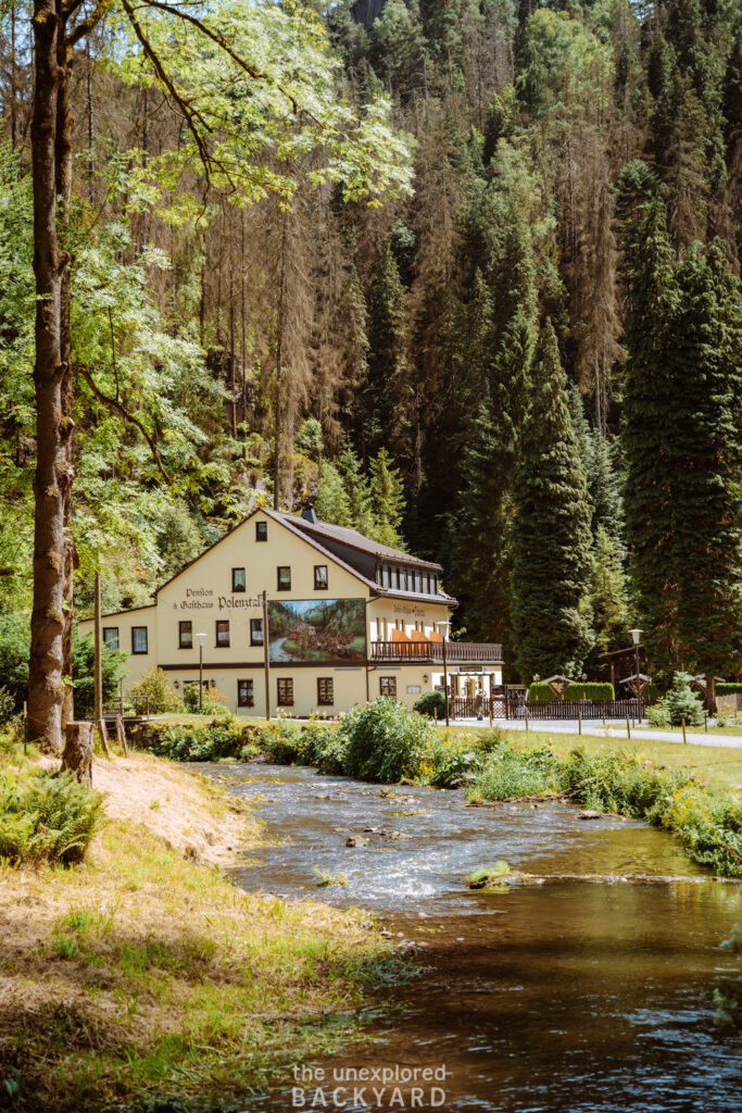
You will know that you are on the right trail when you reach the water stream since you will be following that until you reach Polenztal. After around 1 km and 20 minutes of hiking, you should be able to spot the charming Pension und Gaststätte Polenztal.
Pension und Gaststätte Polenztal to Amselsee
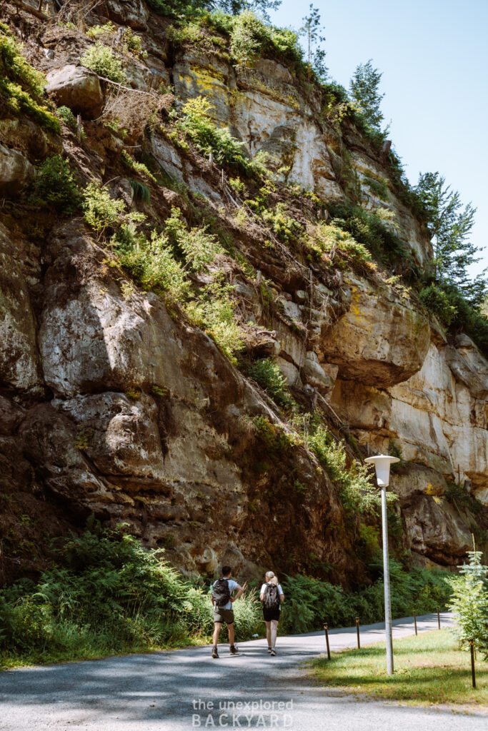
When you have reached the guesthouse, you will notice that two paths are going in opposite directions. You want to take the trail going right, which is in the same direction as the pension. This road is called Polenztal. After just a few minutes, you will see a trail connected to the main path starting to climb up the forest, this is your next trail. You will climb up until you reach the main road, and then cross the road carefully to the other side, where the trail will continue.
After you have crossed two roads in a row, you will reach a crossroads in the paths again. You will take the middle trail called Knotenweg going straight to Amselsee. The rest of the trail towards Amselsee is fairly simple and you will just continue straight until you reach the lakeside, also called Amselsee Promenade. This section of the hike will take around 1 hour and 20 minutes and is just under 5 km long. Expect an overall elevation gain of around 176 meters.
Amselsee Promenade to Bastei Bridge
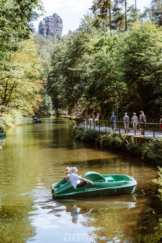
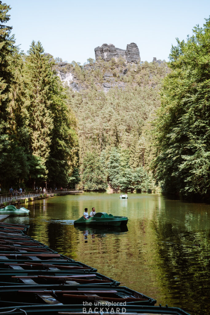
Once you reach Amselsee you will be able to easily locate the Amselsee Promenade lining the side of the lake. Walk along this route to reach the end of the lake and enjoy the scenes of people canoeing. If you are up for an extra adventure, then you can rent a canoe as well at the boat rental on the other side of the lake! For more information on the operating times of the rental boats and prices, click here. Just after the rental stand, you will reach a sign pointing towards the Bastei Bridge. Follow this path for 25 minutes until you reach the top. You will have to climb quite a lot of steps to achieve an elevation gain of 134 meters, so take your time. I promise it’s not as bad as it sounds.
What to do at Bastei Bridge:
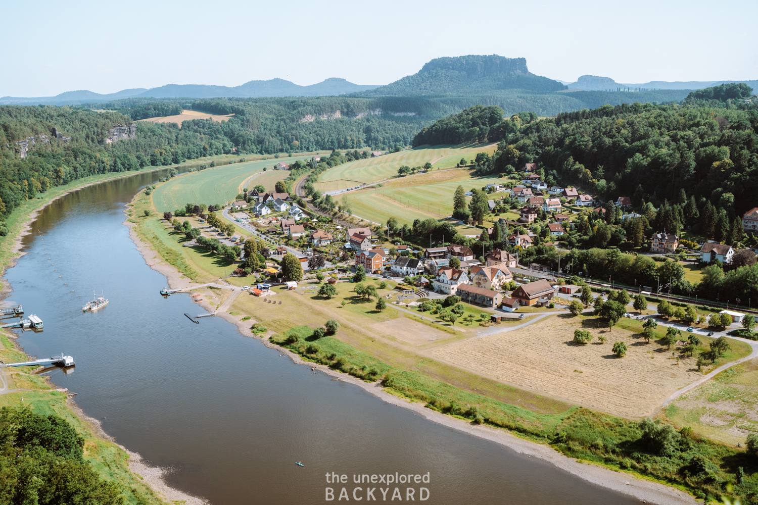
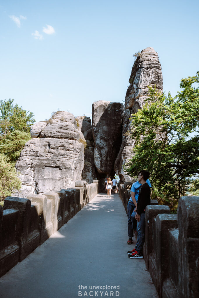
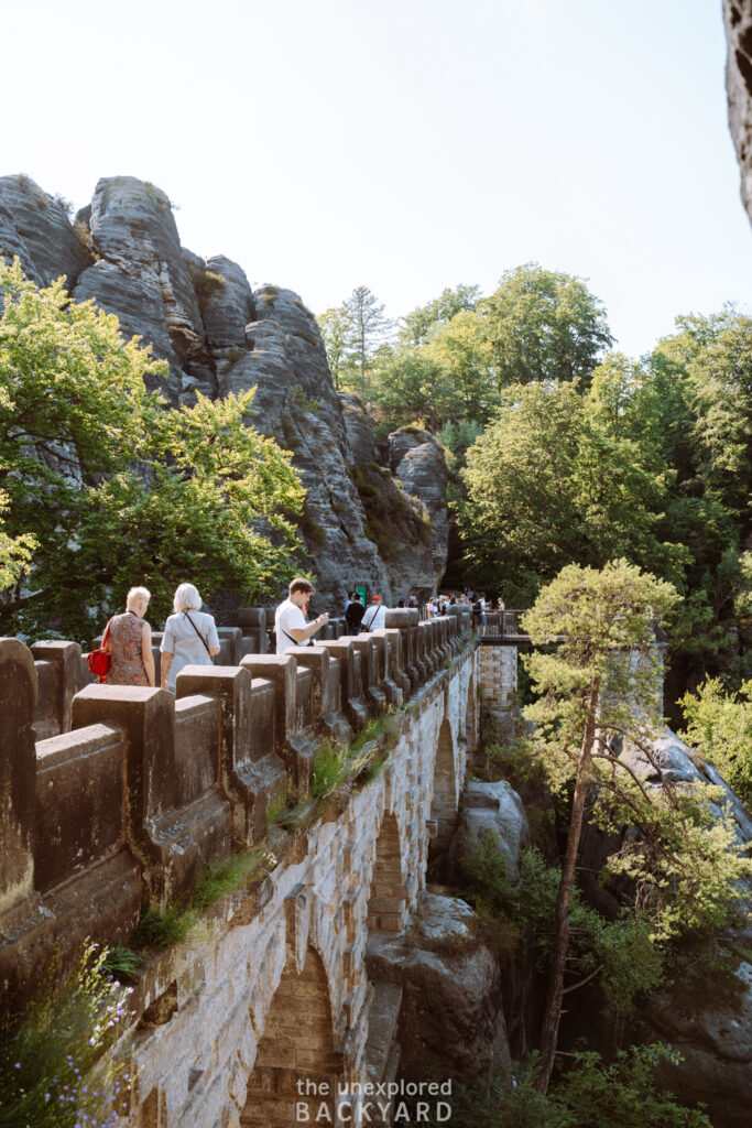
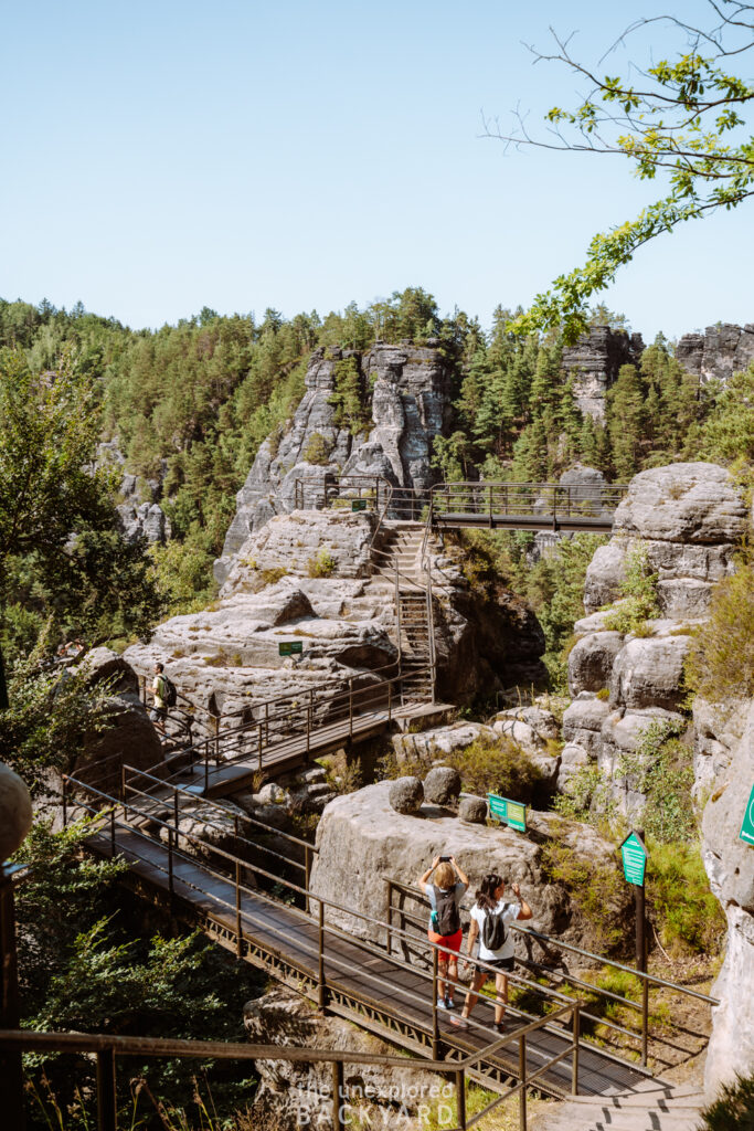
On your way up, toward the end, you will notice some small detours including the Tiedor Scenic View. Make sure to take these detours because they will offer you incredible views over the Elbe River and the surrounding area. When you reach the bridge, you will have the option to take a little path that costs money. Don’t worry, you do not need to pay to walk on the bridge, this is for the path to the Neurathen Castle. We didn’t do this and honestly, I wouldn’t say it’s necessary. You can get great views of it from the bridge and the various viewpoints around it.
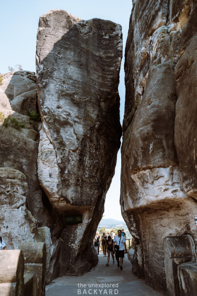
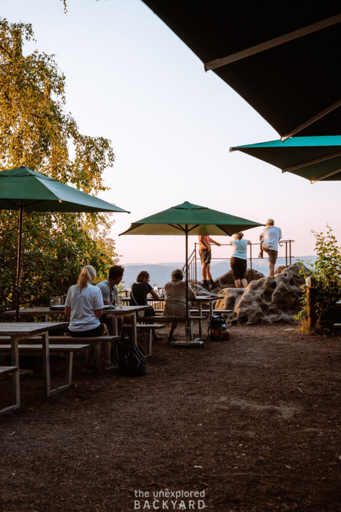
After crossing the Bastei Bridge, make sure to head to Ferdinandstein for the best views over the iconic German natural landmark. This will give you the best vantage point for the best photo you will probably take in the Saxon Switzerland National Park. If you are hungry, then you can find a few restaurants at the top though they are quite touristy. The Panorama Restaurant offers some amazing views over the Elbe River, so if you are a sucker for a good view, consider eating here.
Overall, expect there to be a lot of people at the famous Bastei Bridge. Since it’s easy to access, many tour busses come here daily to drop the tourists off directly at the bridge. Don’t let the crowds take away from your experience because this is honestly one of the best views in Germany!
Bastei Bridge to Hohnstein
When you are ready to head back, you will take a small loop back to Amselsee to see one of the coolest gems in the Saxon Switzerland National Park. Just by the large car park, you will find a trail with the sign Schwedenlöcker on it. This name translates to “Swedish Holes” and has quite a historical story tied to it. The Swedish holes are essentially some mysterious rock formations that make for a very fascinating walk. The name originates from the 30 Years’ War in the 1600’s, when the Swedes invaded Germany and the locals in the surrounding villages fled to these paths to find some cover. I think this story alone is enough to make it worth checking out the Schwedenlöcker!
At the end of the Schwedenlöcker path, it will rejoin Amselsee. From here you can simply take the same path back to Hohnstein where you began the hike. Overall, this full loop will get you up to a total of 15.5 kilometers.
Where to stay while hiking to Bastei Bridge
To be honest, it depends on whether you are visiting by car or public transportation. If you choose to come by bus, then I recommend staying in Hohnstein so that you have an easy way to get to the start of the trail. You could also stay in Rathen for convenience. Although the hike from Rathen to Bastei Bridge is very short and would be less enjoyable in my opinion.
If you are planning to explore more Saxon Switzerland National Park attractions, then I recommend staying in Bad Schandau. This is the town we stayed in and it was perfect in terms of distance from the main hikes. In addition, since this is one of the bigger towns, then there are more options for accommodation and food.
Best mid-range hotel: Hotel Lindenhof Bad Schandau
Best luxury hotel: Hotel Elbresidenz an der Therme
That concludes my guide on how to hike up the Bastei Bridge in Saxon Switzerland National Park. This German natural landmark is popular for a reason and an absolute must-see when visiting Germany! Even if you only have one day to make it out here, I still think it’s worth the effort 😇. If you have any questions regarding hiking to Bastei Bridge, feel free to leave them below!


[…] Read More: How To Hike Up Bastei Bridge […]